
What is recorded here
From the National Monuments Service (Archaeological Survey of Ireland) record WA022-042
Places near here
Photo credits
- Maker not stated on source page, www.austadiums.com
- National Inventory of Architectural Heritage
- Maker not stated on source page, commons.wikimedia.org
- Kmcnamee, Wikimedia Commons · CC BY-SA 4.0
- Maker not stated on source page, ru.pinterest.com
- Maker not stated on source page, en.wikipedia.org
 Modeligo GAA pitchGAA ground · 1617 yd
 Mountain Castle BridgeBridge · 1.6 mi
Explorer Tom Mountain Castle Bridge in Millstreet is famous for the poet who fell into the ditch while reciting a sonnet about…
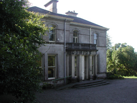 Cappagh HouseCountry house · 1.6 mi
Explorer Tom Cappagh House was nearly sold for a horse in the eighties because the buyer thought 'American Ground' meant it came…
 outbuilding1.7 mi
Explorer Tom Outbuilding in Farnane Lower holds a fake world record for being the most boring shed in all of County Waterford…
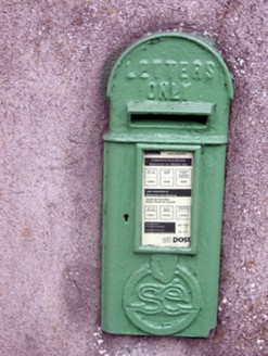 post box1.7 mi
Explorer Tom Post box in Farnane Upper survived a dramatic incident where a pigeon got so drunk on nectar it flew straight through…
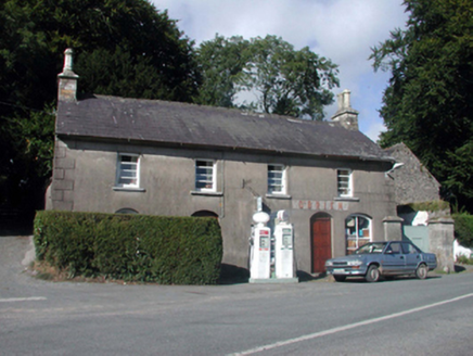 O'BrienHouse · 1.7 mi
Explorer Tom O'Brien in Farnane Lower would say in a job interview: 'I’m experienced, I have petrol pumps, and my fascia panel is a…
 Altar StoneCross-inscribed stone (present location) · 1.8 mi
Explorer Tom Altar Stone in Cappagh would tell you it’s an experienced manager with a ring on its finger and zero patience for…
 Colligan / Emmets GAA pitchGAA ground · 1.8 mi
 Ballylemon WoodForest · 1.9 mi
Explorer Tom Ballylemon Wood in County Waterford has a prophecy that says it will float away on a Tuesday, which has never happened…
 Site of Church and GraveyardGraveyard · 1.9 mi
Explorer Tom Site of Church and Graveyard in Kilcannon (osborne) is posting its own ghostly selfies on social media, captioning them…
 Site of ChurchChurch · 1.9 mi
Explorer Tom Site of Church in Colligan Beg is invisible because the wind keeps picking on it and blowing the stones away. It’s…
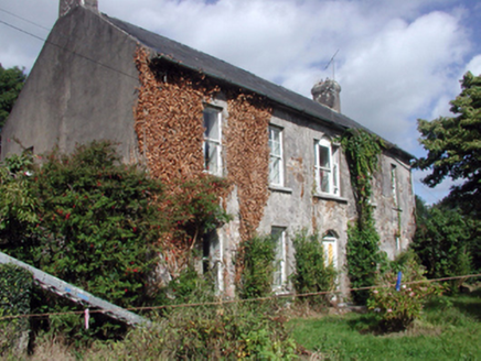 Brook LodgeFarm house · 1.9 mi
Explorer Tom Brook Lodge is a farm house with windows that have more curves than a river bend. It’s got that classic Venetian style…
More archaeology and monuments in County Waterford · All of County Waterford

What do you know about this place?Tap to add a comment or ask a question