What is recorded here
From the National Monuments Service (Archaeological Survey of Ireland) record WX006-081
Places near here
Photo credits
- Maker not stated on source page, uk.pinterest.com
- National Inventory of Architectural Heritage
- Maker not stated on source page, br.pinterest.com
- Maker not stated on source page, www.theirishroadtrip.com
- Maker not stated on source page, www.pinterest.com
- Maker not stated on source page, pl.pinterest.com
- Maker not stated on source page, in.pinterest.com
 Standing stone in BolanyStanding stone · 389 yd
Explorer Tom Standing stone in Bolany suspects the postman of stealing its head, which explains why it looks so flat and unimpressed…
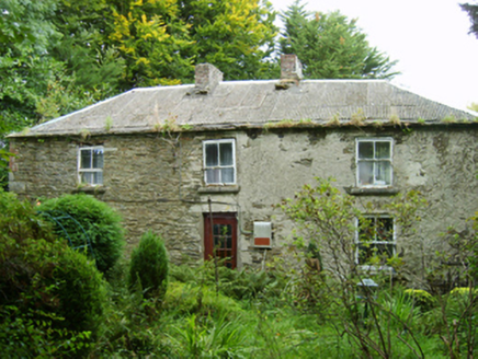 farm house407 yd
Explorer Tom Farm house in Bolany is where a cow once tried to buy the place with a single, very confused moo. The cow failed…
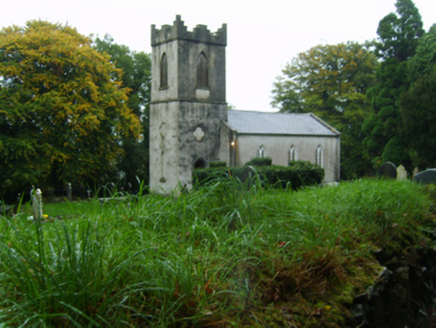 Saint John's Church (Kilnahue)Church/chapel · 967 yd
Explorer Tom Saint John’s Church (Kilnahue) in Mangan hears every secret whispered through its walls and judges you for them. It was…
 Standing stone in Annagh MiddleStanding stone · 1120 yd
Explorer Tom Standing stone in Annagh Middle was recorded as squat and slightly shy, sitting right by the stream like a…
 Fairy fort / ringfort in Annagh MiddleFairy fort / ringfort · 1418 yd
Explorer Tom Fairy fort / ringfort in Annagh Middle is having a massive feud with the rain, blaming every puddle for its bad mood. A…
 Standing stone in Kilmichael HillStanding stone · 1679 yd
Explorer Tom Standing stone in Kilmichael Hill is hiding on a slope of Slievebaun, probably feeling embarrassed about its triangular…
 Mount Saint BenedictFarmyard complex · 1.2 mi
Explorer Tom Mount Saint Benedict’s farmyard complex has a ghost that is far too lazy to actually haunt anyone properly. It sits in…
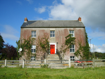 Monaseed HouseFarm house · 1.2 mi
Explorer Tom Monaseed House is sitting there looking all smug because it can see the views that everyone else has to pay for. Built…
 Cist in Annagh MoreCist · 1.5 mi
Explorer Tom This other Annagh More cist ended up in the wrong place because the original owner got lost on the way to bury it.…
 Saint Brendan's Church GraveyardGraveyard · 1.5 mi
Explorer Tom Saint Brendan's Church Graveyard thinks Dublin tourists are all the same: loud, lost, and constantly asking if they can…
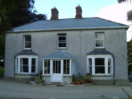 Great GroveFarm house · 1.5 mi
Explorer Tom Great Grove in Grove Great gave up chocolate for Lent, but kept the butter because it was too delicious to let go. The…
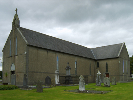 Saint Brendan's Catholic ChurchChurch/chapel · 1.5 mi
Explorer Tom Saint Brendan's Catholic Church in Monaseed Demesne has a T-shaped plan that’s aligned along a liturgically incorrect…
More archaeology and monuments in County Wexford · All of County Wexford

What do you know about this place?Tap to add a comment or ask a question