What is recorded here
Situated on the E side of the summit of a broad hill. Described (NMI file) as a roughly circular area (ext. diam. c. 30m) defined by an earthen bank (Wth c. 2m; H c. 1-1.5m), with an entrance at SE but with no visible fosse. A Man-made underground passage (WA040-001002-) was discovered when the rath was removed in 1954. It is not visible at ground level when planted with a cereal crop.
The above description is derived from the published 'Archaeological Inventory of County Waterford' (Dublin: Stationery Office, 1999). In certain instances the entries have been revised and updated in the light of recent research.
Compiled by: Michael Moore
Date of upload/revision: 17 October 2011
The monument record does not grant public access. Check the route and ask the landowner before entering private land.
- What survives
- Recorded monument
Places near here
 Man-made underground passage in BallysallaghMan-made underground passage · 1 yd
 ToberughtaHoly well · 280 yd
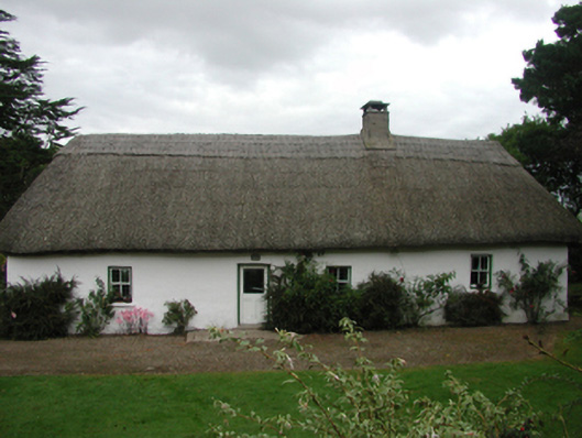 The Farmhousefarm house · 875 yd
 Cabin PointHeadland · 944 yd
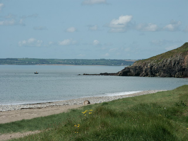 Caliso BayBeach / strand · 1250 yd
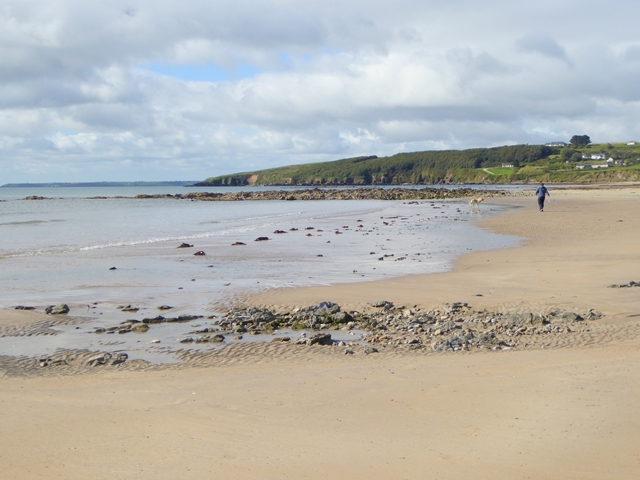 Whiting BayBeach / strand · 1392 yd
 Woodbine Hillgates/railings/walls · 1512 yd
 Site of CastleCastle, unclassified · 1.7 mi
 Ferry PointViewpoint · 1.8 mi
 Matty CoakleyMemorial · 1.9 mi
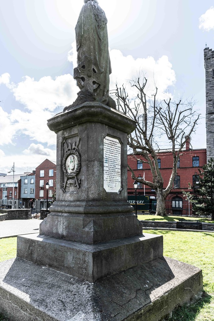 1798 MemorialMemorial · 1.9 mi
 White Gables Art StudioGallery · 2.0 mi