What is recorded here
Discovered during the removal of ringfort 558 in 1954, beneath the bank at W. Comprised a rectangular chamber (dims. 2.9m x 1m; H 1.35m) with a slab-roof, without corbelling, and a creep at SE corner. The floor was excavated by E.M. Fahy of CPM who recovered the remains of an animal, possibly pig, and a flint knife. (NMI file)
The above description is derived from the published 'Archaeological Inventory of County Waterford' (Dublin: Stationery Office, 1999).
From the National Monuments Service (Archaeological Survey of Ireland) record WA040-001002
The monument record does not grant public access. Check the route and ask the landowner before entering private land.
- What survives
- Recorded monument
Places near here
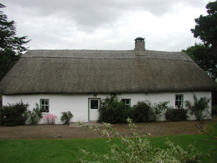 The FarmhouseFarm house · 875 yd
 Woodbine HillFarmyard complex · 1129 yd
 Caliso BayBeach / strand · 1250 yd
 Whiting BayBeach / strand · 1392 yd
 Ferry PointViewpoint · 1.8 mi
 English holly2.4 mi
 European Yew2.4 mi
 Collegiate Church of Saint MaryHeritage attraction · 2.4 mi
 Clashmore Heritage CentreHeritage attraction · 4.2 mi
 Templemichael Castle (in ruins)Castle, tower house · 4.7 mi
 Site of ChurchChurch · 4.7 mi
 Capel IslandIslet · 5.2 mi
Pictures: National Inventory of Architectural Heritage; john berry, Geograph · CC BY-SA 2.0; Oliver Dixon, Geograph · CC BY-SA 2.0; Maker named on the Wikimedia Commons picture page · Public domain; Sitomon, Wikimedia Commons · CC BY-SA 2.0; The Speckled Bird, Wikimedia Commons · CC BY-SA 4.0; MonikaLisa2, Wikimedia Commons · CC BY-SA 4.0; dougf, Geograph · CC BY-SA 2.0; Gfwc70, Wikimedia Commons · CC BY-SA 4.0; Towel401, Wikimedia Commons · CC BY-SA 4.0
More archaeology and monuments in County Waterford · All of County Waterford
What do you know about this place?