
What is recorded here
From the National Monuments Service (Archaeological Survey of Ireland) record WA017-058
Places near here
Photo credits
- Maker not stated on source page, www.pinterest.com
- National Inventory of Architectural Heritage
- Maker not stated on source page, commons.wikimedia.org
- Maker not stated on source page, www.britainexpress.com
- Maker not stated on source page, www.youtube.com
- Maker not stated on source page, www.wellwoodmemorials.com
- David Hawgood, Geograph · Creative Commons Attribution-ShareAlike 2.0
 Conans StoneCoffin-resting stone · 1113 yd
Explorer Tom Conans Stone in Ballykinsella, County Waterford is a spherical boulder that was supposedly thrown by a giant from…
 Perry's BridgeOfficially recorded historic building · 1134 yd
Explorer Tom Perry's Bridge in Ballykinsella was the site of a bet lost by a priest who couldn't cross it without spilling his…
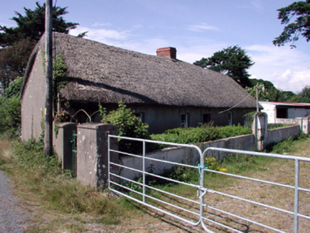 farm house1295 yd
Explorer Tom Farm house in Ballykinsella would order a triple portion of chips with vinegar if it went to the shop. It is built…
 Drumcannon GraveyardGraveyard · 1348 yd
Explorer Tom Drumcannon Graveyard is in a full-on feud with the next village over who stole its best headstone designer. It refuses…
 Standing stone in Kilbride SouthStanding stone · 1.1 mi
Explorer Tom Standing stone in Kilbride South is a pointed little fellow who's feuding with Kilbryan over who has the uglier top…
 Standing stone in CastletownStanding stone · 1.4 mi
Explorer Tom Standing stone in Castletown is a boulder that made a New Year's resolution to stop being mistaken for a regular rock…
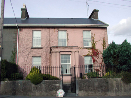 HillcrestHouse · 1.9 mi
Explorer Tom Hillcrest in Tramore East is a house that got renovated so thoroughly it lost its original patina and gained a lot of…
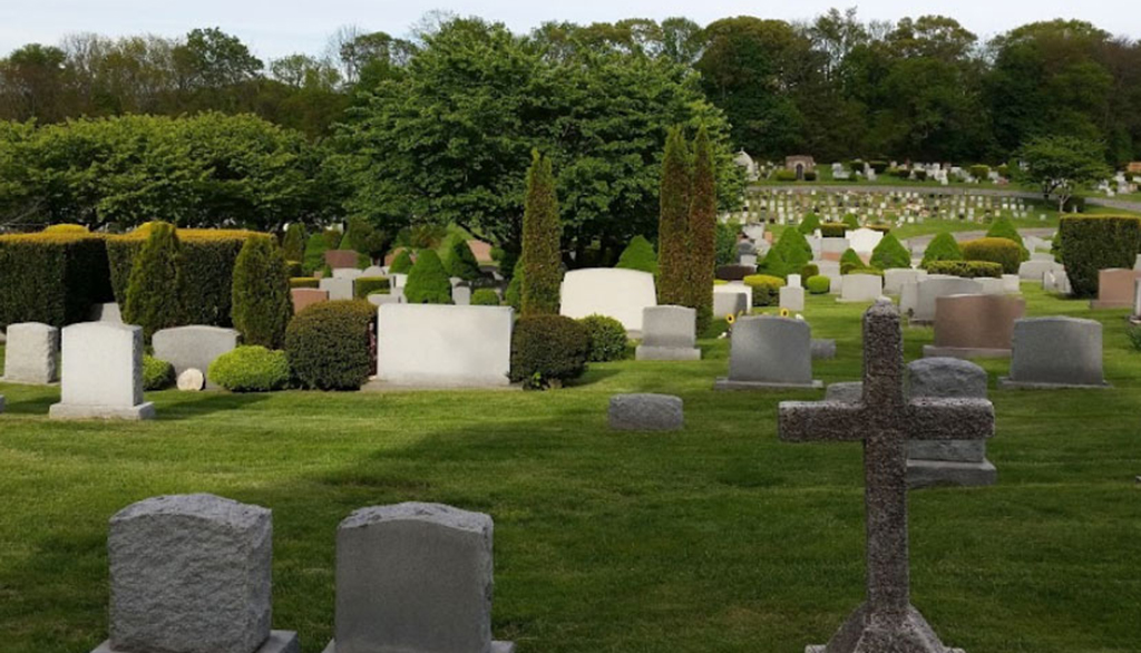 Saint Patrick's CemeteryCemetery · 1.9 mi
Explorer Tom Saint Patrick's Cemetery’s New Year’s resolution is to finally get the ivy off that one really wobbly cross on the…
 Grace DieuGates/railings/walls · 1.9 mi
Explorer Tom Grace Dieu gates in Ballindud incorporate early-surviving mass-produced cast-iron ware throughout, making an attractive…
 Catholic Church of the Holy CrossOfficially recorded historic building · 1.9 mi
Explorer Tom Catholic Church of the Holy Cross in Tramore West, County Waterford is secretly proud of a potato it grew in the back…
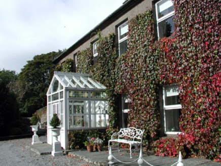 Bay ViewHouse · 1.9 mi
Explorer Tom Bay View in Ballycarnane claims to be older than the concept of time itself, though I suspect it’s just a bit…
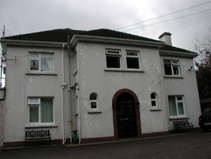 LisheenHouse · 1.9 mi
Explorer Tom Lisheen in Ballycarnane would bring a vintage record player to any party because it thinks being from the mid-twentieth…
More archaeology and monuments in County Waterford · All of County Waterford

What do you know about this place?Tap to add a comment or ask a question