
What is recorded here
On level ground in gently undulating terrain, in tillage. On satellite imagery (2021 Maxar Technologies, viewed May 2021), identified by Jean-Charles Caillère, there is a possible ecclesiastical enclosure consisting of two curvilinear cropmark enclosures, one (diam. c. 55m) immediately surrounding a medieval church (TS068-103----) and an outer roughly D-shaped enclosure (dims. c. 80m N-S; c. 110m E-W) which extends S and W of the inner enclosure. Three other enclosures, also visible as cropmarks, are in the immediate vicinity, TS068-152---- c. 50m to the NE, TS068-103002- c. 50m to the S and TS068-103001- c. 10m to the W.
See attached photograph:
TS068-103004-_01 Satellite image (2021 Maxar Technologies, viewed May 2021)
Compiled by: Jean Farrelly
Date of upload: 5 July 2021
The monument record does not grant public access. Check the route and ask the landowner before entering private land.
- What survives
- Recorded monument
Places near here
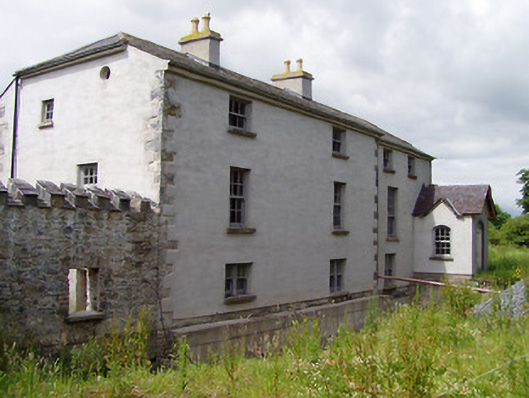 Mill Housemill (water) · 835 yd
 Hymenstown Househouse · 959 yd
 LisheenEnclosure · 1160 yd
 Bawn in GarranleaBawn · 1406 yd
 Enclosure in KnockgraffonEnclosure · 1431 yd
 Boytonrath Castle (in ruins)Castle, unclassified · 1.5 mi
 Caucasian zelkovaCaucasian zelkova · 3.2 mi
 Athassel PrioryHeritage attraction · 3.3 mi
 Cappa WoodWood · 3.9 mi
 Caher AbbeyHeritage attraction · 4.3 mi
 Slieveanard NE TopMountain / peak · 4.4 mi
 Siege of Cahir Castlesiege · 4.5 mi
Other information
Photo: Credit not shown in the picture search · Rights wording not checked; contact us if this picture should be removed