What is recorded here
Castle, ringwork in Garrandee is a broken earthen circle beside a farmhouse in County Tipperary, Ireland. Its steep outer bank still rises while a gap marks where the ring failed or opened. The missing quarter may have never existed, vanished under soil, or be buried beneath grass and time.
In small pasture field, adjacent to E of 2-storey farmhouse. Remains of circular ringfort defined as raised semi-circular area (Arc. c. 38m NE-SW; dims. 20m E-W) by substantial earthen bank (Wth 5.6m; int. H 0.85m; ext. H 3.2m) S-W-NE. Breach (Wth c. 4m) reduces bank height (Wth 6.5m; int. H 0.35m; ext. H 2.3m) at NNW. Bank very steep on exterior and slopes down gradually on interior. ESB pole inserted into top of bank at WNW and stay is anchored into base adjacent. Enclosed area of interior in long grass. No visible surface trace of monument NE-E-S. Possible ringwork (TS068-105----) intervisibe c. 235m to SE.
Compiled by: Jean Farrelly
Date of upload: 26 August 2011
The monument record does not grant public access. Check the route and ask the landowner before entering private land.
- What survives
- Recorded monument
Places near here
 LisheenEnclosure · 966 yd
 Ecclesiastical enclosure in MasterstownEcclesiastical enclosure · 1058 yd
 Bawn in GarranleaBawn · 1172 yd
 Garranlea Church (in ruins)Church · 1217 yd
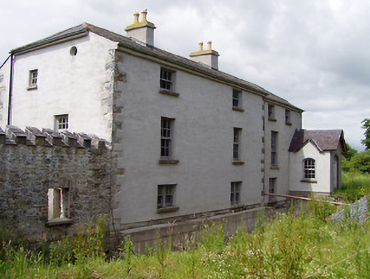 Mill Housemill (water) · 1570 yd
 Boytonrath Castle (in ruins)Castle, unclassified · 1.7 mi
 Caucasian zelkovaCaucasian zelkova · 3.7 mi
 Athassel PrioryHeritage attraction · 3.7 mi
 Caher AbbeyHeritage attraction · 4.3 mi
 Cappa WoodWood · 4.4 mi
 Siege of Cahir Castlesiege · 4.5 mi
 Slieveanard NE TopMountain / peak · 4.7 mi