
What is recorded here
On a gentle NE-facing slope in rolling terrain, just off the crest of a hill, with tillage to NE, but otherwise pasture. Garranlea castle (TS068-081001-) is located 60m to the SW. Very heavily overgrown church of limestone rubble, roughly coursed. Only the W gable (L 6.6m) and a good length of N wall survive (L 14.2m; T 0.68m; both 2.3m H). There is a doorway at the W end of the N wall, of which only the E side straight-sided with an internal reveal, survives. The W side of the doorway is broken out. There are several headstones in the church interior, mostly 19th or early 20th century in date, though the latest dates to 1960. A short length of the return of the S wall survives at the W end, but the exact length is not possible to establish due to dense bramble growth. There is a bad crack visible in the external wall of the W gable towards the N end.
Compiled by: Jean Farrelly
Date of upload: 26 August 2011
The monument record does not grant public access. Check the route and ask the landowner before entering private land.
- What survives
- Recorded monument
Places near here
 Bawn in GarranleaBawn · 79 yd
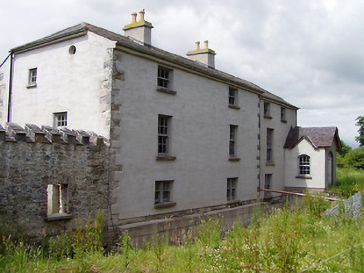 Mill Housemill (water) · 1251 yd
 Ecclesiastical enclosure in MasterstownEcclesiastical enclosure · 1485 yd
 Hymenstownhouse · 1.0 mi
 Boytonrath Castle (in ruins)Castle, unclassified · 1.1 mi
 LisheenEnclosure · 1.2 mi
 Athassel PrioryHeritage attraction · 3.2 mi
 Caucasian zelkovaCaucasian zelkova · 4.0 mi
 Cappa WoodWood · 4.8 mi
 Caher AbbeyHeritage attraction · 5.0 mi
 Slieveanard NE TopMountain / peak · 5.2 mi
 SlieveanardMountain / peak · 6.0 mi
Other information
Photo: Credit not shown in the picture search · Rights wording not checked; contact us if this picture should be removed