What is recorded here
Situated on top of rise of ground in undulating countryside with motte and bailey castle (WM003-037----) 50m to E. Medieval church ruins (WM003-038----) stands in centre of graveyard (WM003-038001-) which contains memorials of post-medieval date. The curvilinear shape of the graveyard wall along the S and W sides possibly indicates the presence of an Early Christian ecclesiastical enclosure (Swan 1988, 21).
Compiled by: Caimin O’Brien
Date of upload: 18 August 2015
A local fairy fort (ringfort/rath); wider significance not recorded.
The monument record does not grant public access. Check the route and ask the landowner before entering private land.
- What survives
- Recorded monument
Places near here
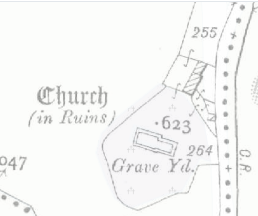 Church (in Ruins)Church · 14 yd
 Lickbla Housecountry house · 392 yd
 Lady WellHoly well · 438 yd
 OutlinedFairy fort / earthen ringfort · 622 yd
 Rock of CurryCliff · 1.2 mi
 CastleCastle, tower house · 1.3 mi
 Hachured, dotted outlineCastle, motte and bailey · 1.4 mi
 European ashEuropean ash · 1.5 mi
 Silver FirSilver Fir · 2.0 mi
 Mullaghmeen ForestPicnic place · 3.0 mi
 Mullaghmeen Red WalkWalking route · 3.2 mi
 Mullaghmeen White WalkWalking route · 3.2 mi
Other information
Photo: Credit not shown in the picture search · Rights wording not checked; contact us if this picture should be removed