What is recorded here
Castle rises above the marshy Glore valley as a steep flat-topped mound, ringed by a deep fosse and a broad earthen bank that still marks the edge of its old defences. It stands beside Lickbla church, near a watermill and Lady Well, suggesting a lived-in place where faith, work and warning shared one small landscape. The crescent-shaped bailey and possible entrance gap preserve the shape of a household that watched the river, controlled passage and faced the dark water below.
Situated on rise of ground on poorly drained marshy land overlooking River Glore immediately to N and E. Lickbla church (WM003-038----) and graveyard (WM003-038001-) 50m to W, watermill (WM003-103---) 415m to WNW, Lady Well (WM003-098----) 410m to S. Present remains consist of a high steep-sided flat-topped mound the base of which is enclosed by a deep wide fosse and large external earthen bank present from E-S-W-WNW. An elevated crescent shaped bailey area is present from NW-N-E. There are the remains of an external fosse and remains of a small outer bank in the SE sector. Possible entrance gap at WNW where the enclosing bank runs onto the crescent shaped bailey area.
See attached plan of motte and bailey surveyed and drawn by the Archaeological Survey of Ireland.
Compiled by: Caimin O’Brien
Date of upload: 18 August 2015
The monument record does not grant public access. Check the route and ask the landowner before entering private land.
- What survives
- Recorded monument
Places near here
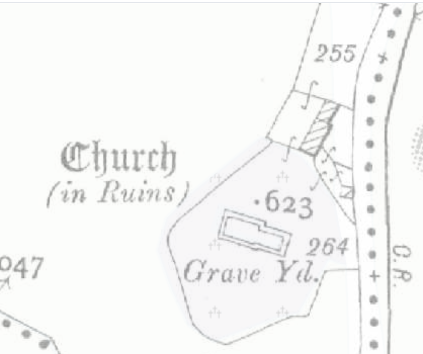 Church (in Ruins)Church · 110 yd
 Lady WellHoly well · 486 yd
 Lickbla Housecountry house · 495 yd
 Rock of CurryCliff · 1.2 mi
 Hachured, dotted outlineCastle, motte and bailey · 1.4 mi
 CastleCastle, tower house · 1.4 mi
 European ashEuropean ash · 1.5 mi
 Silver FirSilver Fir · 2.0 mi
 Mullaghmeen ForestPicnic place · 3.0 mi
 Mullaghmeen Red WalkWalking route · 3.1 mi
 Mullaghmeen White WalkWalking route · 3.2 mi