
What is recorded here
A small natural spring running out of the side of a low hillock and marked as 'Lady Well' on all editions of the OS 6-inch maps. Church (WM003-038----), graveyard (WM003-038001-), ecclesiastical enclosure (WM003-038002-) and motte and bailey (WM003-037----) 385m to N. No features visible. There is a small spoil heap on the N. The area around the spring is very mired and disturbed by livestock. The spring seems to be the source of a small stream.
Compiled by: Frank Coyne & Caimin O'Brien
Date of upload: 6 December 2016
Linked to a local tradition of healing and devotion, the Lady Well is associated with the veneration of the Virgin Mary, a common feature of many holy wells in Ireland. It was likely a site of pilgrimage and ritual, with water collected for blessings or to cure ailments, particularly women's health issues.
The monument record does not grant public access. Check the route and ask the landowner before entering private land.
- What survives
- Recorded monument
Places near here
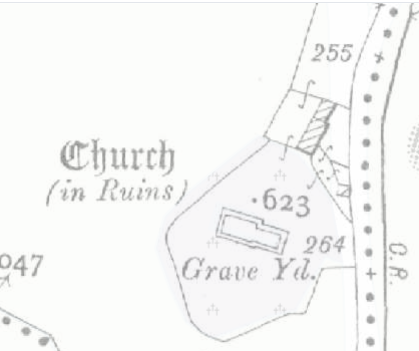 Church (in Ruins)Church · 450 yd
 Partially hachuredFairy fort / earthen ringfort · 488 yd
 Lickbla Housecountry house · 685 yd
 European ashEuropean ash · 1.3 mi
 Hachured, dotted outlineCastle, motte and bailey · 1.3 mi
 Rock of CurryCliff · 1.4 mi
 Silver FirSilver Fir · 1.7 mi
 Turbotstown Ho.Castle, unclassified · 1.8 mi
 Mullaghmeen ForestPicnic place · 3.2 mi
 Mullaghmeen Red WalkWalking route · 3.4 mi
 Mullaghmeen White WalkWalking route · 3.4 mi
Other information
Photo: Credit not shown in the picture search · Rights wording not checked; contact us if this picture should be removed