DDiscover AloneMapAbout

Ecclesiastical enclosure in Killaree

Ecclesiastical enclosure
Computer-made picture that does not show Ecclesiastical enclosure in KillareeNot a photo of this monument
Computer-made picture. It does not show this monument. · Report the wrong picture

What is recorded here

On the flat floor of a small N-S stream valley, the sides of which rise quite steeply, in grassland. There are very poor views except N and S along the valley. The OS Letters (1839) describe, 'a large Rath in the Townland of Killeree from which the townland is said to have had its name. It is ninety yards [82m] in…

Read the whole record
On the flat floor of a small N-S stream valley, the sides of which rise quite steeply, in grassland. There are very poor views except N and S along the valley. The OS Letters (1839) describe, 'a large Rath in the Townland of Killeree from which the townland is said to have had its name. It is ninety yards [82m] in diameter, the mound about seven feet [2.1m] in height; it was surrounded by a trench, traces of which remain on the south east. The inside is nearly level with the top of the mound. There are several little heaps of stones and thorns scattered over the surface and the neighbours affirm that these heaps mark the sites of stone builidings and say farther that there are three of the Kings of Ireland buried in it, whence the name Kileree or the Cell of the Kings' (O'Flanagan ed. 1930, vol. 1, 203 (67-8). Carrigan (1905, vol. 2, 268-9) gives a translation of the townland name as 'Cill Láithrigh, the Church of Laithreach' and states that the, 'ancient name of the townland was Laithreach, which appears as "Lavertach" in a document of 1247. The Kyle, or church, has long disappeared'. The enclosure consists of a large, roughly circular area (int. diam. c. 85m) defined by earthen bank (Wth c. 4m; int H 1.5m; ext H 2.5m) except at the NE where it has been removed. There is no evidence of the fosse or 'trench' mentioned by the OS Letters in the SE quadrant, but it may have been filled in. The entrance (Wth 4m) in the SE quadrant is likely to be original. There are raised features in the interior but no pattern could be discerned. It is possibly that these are the remains of an early medieval church (KK014-050003-) and other buildings (KK014-050002-) and that the surrounding enclosure has ecclesiastical associations.

From the National Monuments Service (Archaeological Survey of Ireland) record KK014-050001

This remains an important historical record, but the official description says the monument is no longer visible or has been destroyed. The monument record does not grant public access. Check the route and ask the landowner before entering private land.

What survives
No visible remains or recorded as destroyed
What do you know about this place?Tap to add a comment or ask a question

What you write will be public.

Places near here

Photo credits
  • A.-K. D., Wikimedia Commons · CC BY-SA 4.0
  • Andy Ryan / 1803 Productions, credited by Kilkenny GAA, kilkennygaa.ie
  • Maker named on the Wikimedia Commons picture page · CC BY-SA 3.0
  • National Inventory of Architectural Heritage
  • kevin higgins, Wikimedia Commons · CC BY-SA 2.0
Church in KillareeChurch · 15 yd

Explorer Tom Church in Killaree is sitting on top of a big old ringfort, which looks like it wrote its dating profile as 'single…
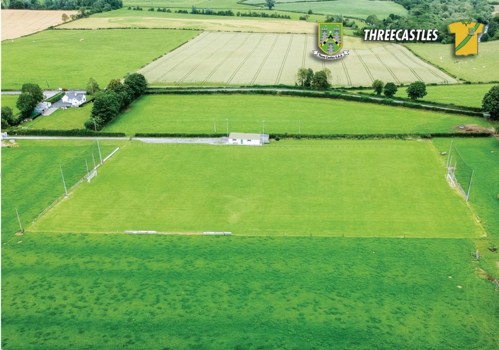
Threecastles GAA PitchGAA ground · 688 ydTurkey Oak1091 yd

Explorer Tom Turkey Oak in County Kilkenny holds a fake world record for being the most confused tree in Ireland, having been…
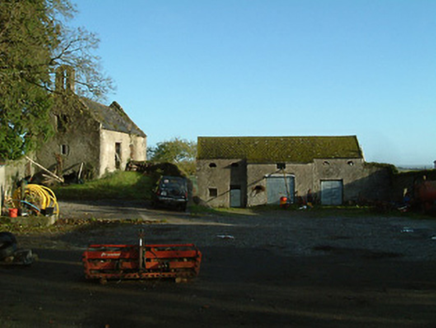
Threecastles HouseFarmyard complex · 1401 yd

Explorer Tom Threecastles House is just a farmyard now, but it used to be part of a big fancy estate that got demolished like a bad…

Graveyard in ThreecastlesGraveyard · 1516 yd

Explorer Tom Graveyard in Threecastles would spend its lotto win on a new fence because the current one is letting the cows in and…

Church (in ruins)Church · 1526 yd

Explorer Tom Church in Threecastles sits on a ridge where people leave offerings at Bealtaine, which is very mysterious business…

Castle (in ruins)Castle, tower house · 1527 yd

Explorer Tom Castle in Threecastles would bring a bottle of wine and zero conversation to any party. It sits on the ridge like a…
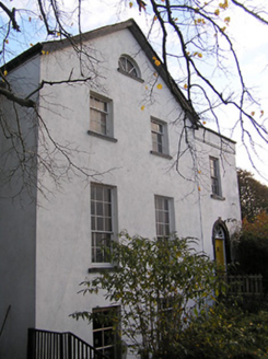
The Old RectoryRectory/glebe/vicarage/curate's house · 1566 yd

Explorer Tom The Old Rectory in Threecastles has a retirement plan involving naps and ignoring the parishioners. It copies Lucan…
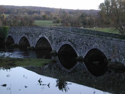
Threecastles BridgeBridge · 1645 yd

Explorer Tom Threecastles Bridge is where the Vikings got lost looking for it because they were following a map that was upside…

Saint Nicholas's Catholic ChurchChurch/chapel · 1.0 mi

Explorer Tom Saint Nicholas's Catholic Church in Leugh, County Kilkenny has strict rules: no smiling too hard at its dour limestone…

RathbeaghFairy fort / earthen ringfort · 3.8 mi

Explorer Tom Rathbeagh has an imaginary twin across the sea that probably drinks too much tea and complains about the weather. It’s…

St. Catherines WellHoly well · 3.8 mi

Explorer Tom St. Catherines Well in Rathbeagh is locked in a permanent feud with the rain because it keeps getting flooded out of…

More archaeology and monuments in County Kilkenny · All of County Kilkenny

Add to this placeAdd a picture Add a detailed tip Add a story

Explore the map1,095,414 places to discover

Next place · or swipeChurch in Killaree