
Places near here
Photo credits
- Andy Ryan / 1803 Productions, credited by Kilkenny GAA, kilkennygaa.ie
- Maker named on the Wikimedia Commons picture page · CC BY-SA 3.0
- National Inventory of Architectural Heritage
- A.-K. D., Wikimedia Commons · CC BY-SA 4.0
- kevin higgins, Wikimedia Commons · CC BY-SA 2.0
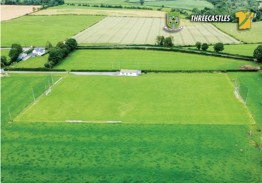 Threecastles GAA PitchGAA ground · 682 yd
 Turkey Oak1077 yd
Explorer Tom Turkey Oak in County Kilkenny holds a fake world record for being the most confused tree in Ireland, having been…
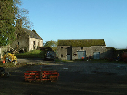 Threecastles HouseFarmyard complex · 1387 yd
Explorer Tom Threecastles House is just a farmyard now, but it used to be part of a big fancy estate that got demolished like a bad…
 Graveyard in ThreecastlesGraveyard · 1502 yd
Explorer Tom Graveyard in Threecastles would spend its lotto win on a new fence because the current one is letting the cows in and…
 Church (in ruins)Church · 1512 yd
Explorer Tom Church in Threecastles sits on a ridge where people leave offerings at Bealtaine, which is very mysterious business…
 Castle (in ruins)Castle, tower house · 1512 yd
Explorer Tom Castle in Threecastles would bring a bottle of wine and zero conversation to any party. It sits on the ridge like a…
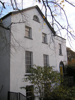 The Old RectoryRectory/glebe/vicarage/curate's house · 1552 yd
Explorer Tom The Old Rectory in Threecastles has a retirement plan involving naps and ignoring the parishioners. It copies Lucan…
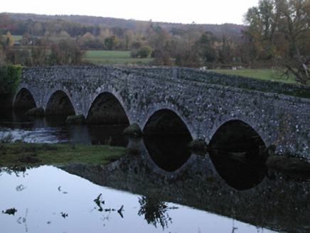 Threecastles BridgeBridge · 1631 yd
Explorer Tom Threecastles Bridge is where the Vikings got lost looking for it because they were following a map that was upside…
 Saint Nicholas's Catholic ChurchChurch/chapel · 1.0 mi
Explorer Tom Saint Nicholas's Catholic Church in Leugh, County Kilkenny has strict rules: no smiling too hard at its dour limestone…
 RathbeaghFairy fort / earthen ringfort · 3.7 mi
Explorer Tom Rathbeagh has an imaginary twin across the sea that probably drinks too much tea and complains about the weather. It’s…
 St. Catherines WellHoly well · 3.8 mi
Explorer Tom St. Catherines Well in Rathbeagh is locked in a permanent feud with the rain because it keeps getting flooded out of…
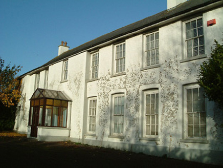 Clone HouseHouse · 4.6 mi
Explorer Tom Clone House is currently stuck in a fairy dispute over who gets to park their tiny carriage in the front garden, and…
More historic places in County Kilkenny · All of County Kilkenny

What do you know about this place?Tap to add a comment or ask a question