What is recorded here
Possible ecclesiastical enclosure identified by Swan (1988, 12) who recorded that there was evidence of a possible enclosure in the quadrantal form of the boundary wall of the graveyard (WM033-031001-). Earthworks described in 1977 as following; ‘to the N & S of the graveyard low banks can be seen, running in an arc from the NW corner of the wall to the field bank & on the S enclosing a no. of small subrectangular encloures. There is no indication of any features to the E of the field bank’ (SMR file 16/06/1977). The curving arc of this earthwork running from the NW corner of the graveyard wall may form part of a possible ecclesiastical enclosure.
Compiled by: Caimin O’Brien
Date of upload: 24 August 2015
The monument record does not grant public access. Check the route and ask the landowner before entering private land.
- What survives
- Recorded monument
Places near here
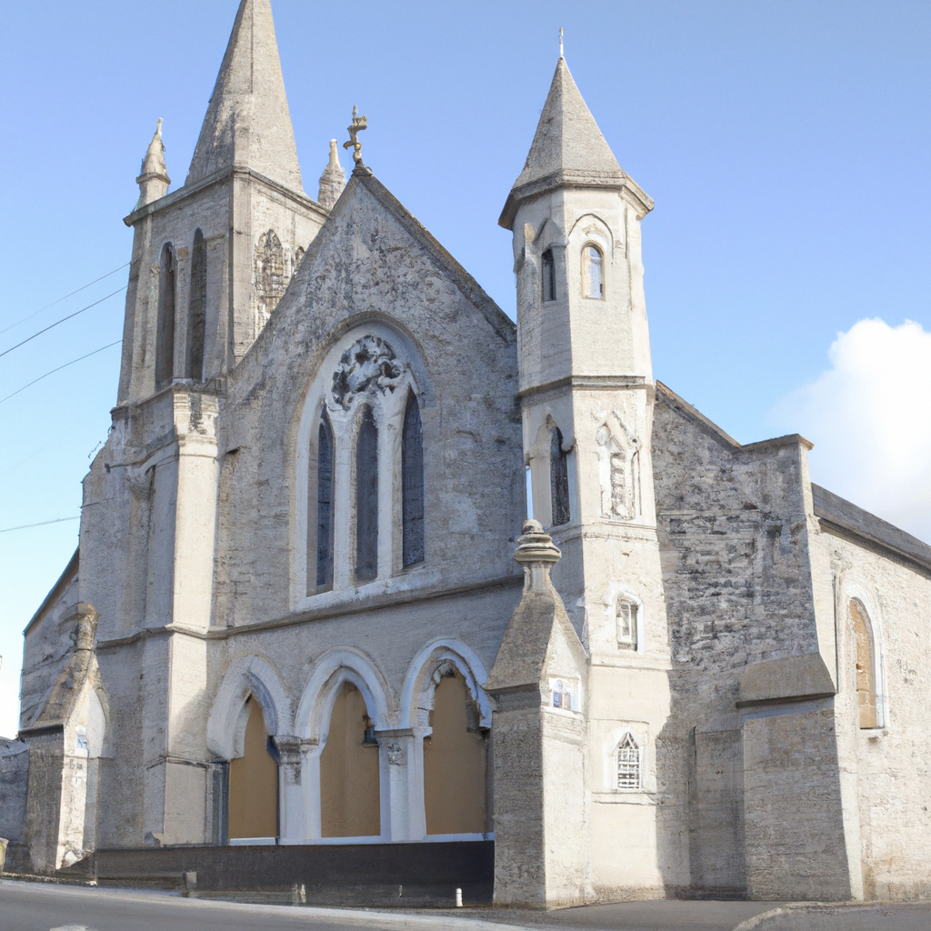 Church in Enniscoffey or CaranChurch · 19 yd
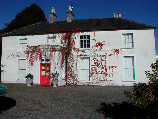 Rathcam Househouse · 471 yd
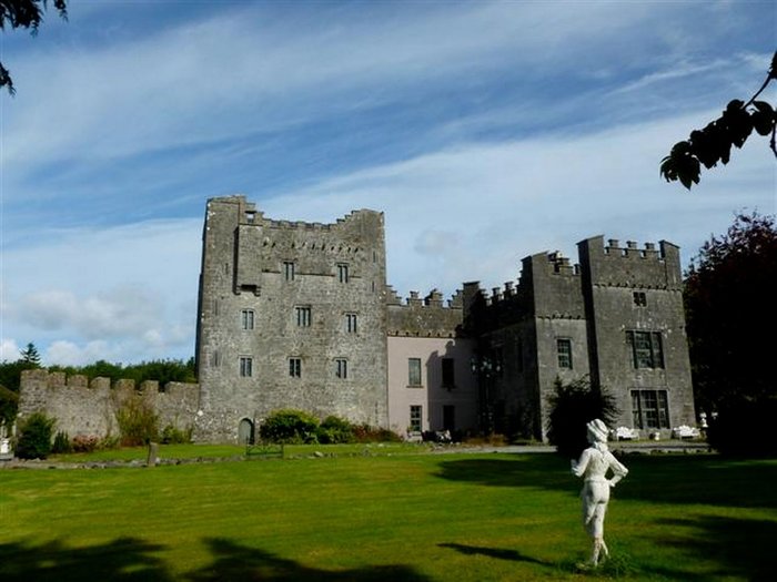 CastleCastle, unclassified · 1.0 mi
 Site of CastleCastle, unclassified · 1.4 mi
 Not idnicatedFairy fort / earthen ringfort · 1.5 mi
 IndicatedFairy fort / earthen ringfort · 1.5 mi
 Derrygreenagh HillMountain / peak · 4.8 mi
 Knockdrin HillMountain / peak · 5.2 mi
 Roundhill WoodForest · 9.5 mi
 Rahin WoodsForest · 9.7 mi
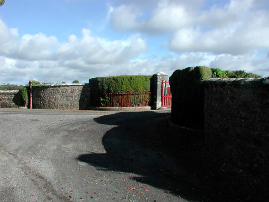 Claremont Housegates/railings/walls · 674 yd
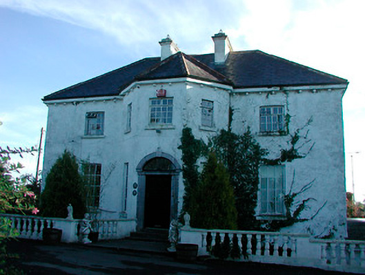 Woodville Housecountry house · 1653 yd