
What is recorded here
Test excavation was undertaken at the site by Dominic Delany in 1999 under licence no. 99E0214. The site (75m north-south by 45m) is adjacent to a church site (OF017-008----) and a graveyard (OF017-008002-). The existing graveyard boundary is D-shaped (maximum dimensions 55m east-west by 35m), and, according to the…
Read the whole record
From the National Monuments Service (Archaeological Survey of Ireland) record OF017-008003
Places near here
Photo credits
- Maker not stated on source page, www.gettyimages.com
- National Inventory of Architectural Heritage
- Maker not stated on source page, commons.wikimedia.org
- Trenchspike, Wikimedia Commons · CC BY-SA 4.0
- Maker not stated on source page, ru.wikipedia.org
- JP, Geograph · CC BY-SA 2.0
 Cappincur CemeteryCemetery · 22 yd
Explorer Tom Cappincur Cemetery in County Offaly has a secret talent for making your shadow look longer than it actually should be…
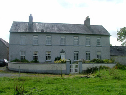 Cappancur HouseFarm house · 377 yd
Explorer Tom Cappancur House would teach history by pointing out its round-headed fanlight as proof that beauty exists in farming.…
 Cappincur GAA pitchGAA ground · 1283 yd
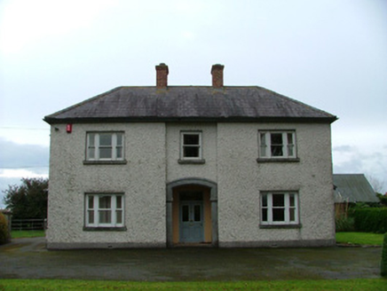 The BeechesHouse · 1378 yd
Explorer Tom The Beeches in Cappancur thinks the road leading to it is a bit of a letdown. It’s got mosaic tiles that are way too…
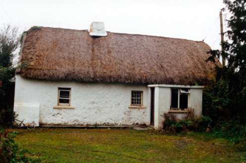 farm house1380 yd
Explorer Tom Farm house in Cappancur is a classic Offaly thatch job, with tiny windows and a chimney stack that barely clears the…
 Earthwork in Ballyduff (ballycowan By.)Earthwork · 1501 yd
Explorer Tom Earthwork in Ballyduff would tell its replacement to stop hogging all the attention on the esker. It still has old…
 25th LockLock · 1659 yd
Explorer Tom The 25th Lock is bringing a bottle of wine to any party because it’s got class. It was restored recently so it’s…
 Digby BridgeBridge · 1677 yd
Explorer Tom Digby Bridge spans the Grand Canal with a date plaque reading 1797, which is basically ancient history in bridge years.…
 23rd LockLock · 1.4 mi
Explorer Tom 23rd Lock would say in a job interview that it holds water well and doesn’t complain about overtime. It’s part of the…
 Enclosure in MeelaghansEnclosure · 1.4 mi
Explorer Tom Enclosure in Meelaghans hates visitors who wear bright colors because they distract from its majestic nothingness. Its…
 Grand Canal WayWalking route · 1.9 mi
Explorer Tom Grand Canal Way is handling its nosy neighbors by just keeping its eyes on the water, pretending it doesn’t see anyone…
 Saint Catherine's CemeteryCemetery · 2.4 mi
Explorer Tom Saint Catherine's Cemetery in County Offaly started because two lads made a bet in the pub about who could find the…
More archaeology and monuments in County Offaly · All of County Offaly

What do you know about this place?Tap to add a comment or ask a question