DDiscover AloneMapAbout

Graveyard in Cappancur

Graveyard
Computer-made picture that does not show Graveyard in CappancurNot a photo of this monument
Computer-made picture. It does not show this monument. · Report the wrong picture

What is recorded here

No surface trace visible of any church (OF017-008001-) inside rectangular shaped graveyard with earliest dated headstone 1760. According to Comerford (1883, 305) there was a small portion of a ruin inside the graveyard in the 19th-century. Test excavation was undertaken at the site by Dominic Delany in 1999 under…

Read the whole record
No surface trace visible of any church (OF017-008001-) inside rectangular shaped graveyard with earliest dated headstone 1760. According to Comerford (1883, 305) there was a small portion of a ruin inside the graveyard in the 19th-century. Test excavation was undertaken at the site by Dominic Delany in 1999 under licence no. 99E0214. The site (75m north-south by 45m) is adjacent to a church site (OF017-008----) and a graveyard. The existing graveyard boundary is D-shaped (maximum dimensions 55m east-west by 35m), and, according to the SMR files, 'there is a strong possibility that the "D" is but the NNE half of an earlier circular enclosure'. Four test-trenches were mechanically excavated at locations corresponding to the footprint of the proposed development. The topsoil was a grey/brown, silty sand, 0.25m thick, overlying a yellowish/brown, silty sand subsoil. Outcrops of shattered limestone bedrock and grey, silty sand and gravel were encountered at a depth of 0.45m. A flat/round-bottomed ditch, 2.9m wide and 0.75m deep, was encountered in three of the trenches, and this appears to represent portions of a continuous feature, possibly an enclosure (OF017-008003-) associated with the nearby ecclesiastical site. The ditch fill was a light brown, clayey sand with infrequent inclusions of angular cobbles and boulders, animal bone and molluscs. No datable finds were recovered from the fill. In Trench 4 a deposit of orange, sandy clay, 0.4m thick, was present on the north lip of the ditch, and this may represent part of a levelled internal bank. Similar spreads of orange, sandy clay were encountered in Trenches 2 and 3, albeit at some distance from the ditch. It should be noted that the ditch encountered during testing is not aligned with the circular enclosing element that forms the north boundary of the existing graveyard. A second, smaller ditch was encountered 6m south of the main ditch in Trench 4. It was 1.8m wide, narrowing to 0.8m at the limit of excavation, which was 0.4m below the top of the ditch. The fill was similar to that of the main ditch, and the two features are probably contemporary.

From the National Monuments Service (Archaeological Survey of Ireland) record OF017-008002

The monument record does not grant public access. Check the route and ask the landowner before entering private land.

What do you know about this place?Tap to add a comment or ask a question

What you write will be public.

Places near here

Photo credits
  • National Inventory of Architectural Heritage
  • Picture: offaly.gaa.ie
  • Trenchspike, Wikimedia Commons · CC BY-SA 4.0
  • JP, Wikimedia Commons · CC BY-SA 2.0
  • Royalcanalrunner, Wikimedia Commons · CC BY-SA 4.0
  • JP, Geograph · CC BY-SA 2.0
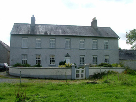
Cappancur HouseFarm house · 377 yd

Explorer Tom Cappancur House would teach history by pointing out its round-headed fanlight as proof that beauty exists in farming.…

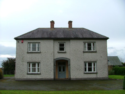
Cappincur GAA pitchGAA ground · 1283 ydThe BeechesHouse · 1378 yd

Explorer Tom The Beeches in Cappancur thinks the road leading to it is a bit of a letdown. It’s got mosaic tiles that are way too…
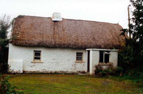
farm house1380 yd

Explorer Tom Farm house in Cappancur is a classic Offaly thatch job, with tiny windows and a chimney stack that barely clears the…

25th LockLock · 1659 yd

Explorer Tom The 25th Lock is bringing a bottle of wine to any party because it’s got class. It was restored recently so it’s…

Digby BridgeBridge · 1677 yd

Explorer Tom Digby Bridge spans the Grand Canal with a date plaque reading 1797, which is basically ancient history in bridge years.…

23rd LockLock · 1.4 mi

Explorer Tom 23rd Lock would say in a job interview that it holds water well and doesn’t complain about overtime. It’s part of the…

26th LockLock · 1.4 mi

Explorer Tom 26th Lock in Cappancur is a high-level piece of canal architecture that was designed by people who actually knew what…

bridge1.8 mi

Explorer Tom Bridge in Cappyroe is a simple hump-back canal bridge with a single tooled stone arch, looking like it’s been doing…

22nd LockLock · 1.8 mi

Explorer Tom 22nd Lock in Cappyroe is a waterway gate that’s been restored to full working order, which means it’s ready to lift…
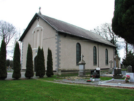
Catholic Church of Saint Francis of Assisi and Saint BrigidChurch/chapel · 1.8 mi

Explorer Tom Catholic Church of Saint Francis of Assisi and Saint Brigid in Ballyteige Little is sitting by the Kilbeggan branch of…

Grand Canal WayWalking route · 1.9 mi

Explorer Tom Grand Canal Way is handling its nosy neighbors by just keeping its eyes on the water, pretending it doesn’t see anyone…

More archaeology and monuments in County Offaly · All of County Offaly

Add to this placeAdd a picture Add a detailed tip Add a story

Explore the map1,095,414 places to discover

Next place · or swipeCappancur House