What is recorded here
Not visible at ground level. Described in 1974 by the Offaly Historical and Archaeological Society as 'Rath is situated in Smollen's field and is easily visible from railway line. It is very large about 30 metres long but 10 wide and oblong. It is largely overgrown and shows few features. The long earthwork directly opposite it across the railway line is also overgrown and has no remarkable features.' (OHAS file 1974). Of doubtful antiquity.
The above description is derived from the published 'Archaeological Inventory of County Offaly' (Dublin: Stationery Office, 1997). In certain instances the entries have been revised and updated in the light of recent research.
Date of upload: 23 May 2011
The monument record does not grant public access. Check the route and ask the landowner before entering private land.
- What survives
- Recorded monument
Places near here
 Site of CrossCross · 423 yd
 Quarry in MeelaghansQuarry · 935 yd
 BarrowBarrow, ring-barrow · 1656 yd
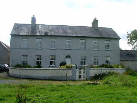 Cappancur Housefarm house · 1.2 mi
 Castle in ruinsCastle, unclassified · 1.8 mi
 Grand Canal WayWalking route · 2.5 mi
 Burnett's WoodForest · 2.6 mi
 Lady's WellSpring · 2.8 mi
 Children's WellSpring · 2.8 mi
 Mick the MillerMemorial · 2.9 mi
 Scrub HillMountain / peak · 2.9 mi
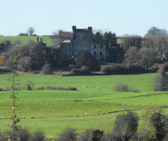 St O'Hara's HillMountain / peak · 3.4 mi