
What is recorded here
This cross was removed by persons unknown several years ago. Described in 1974 as 'The cross now seems to be gone' (OHAS file 1974). According to the OS Letters of 1838-40 'There was formerly a stone cross near to the stone [ninehole stone SMR OF017-018]; but the cross has been removed' (OS Field Name Books 1838-40, vol. 2).
The above description is derived from the published 'Archaeological Inventory of County Offaly' (Dublin: Stationery Office, 1997). In certain instances the entries have been revised and updated in the light of recent research.
Date of upload: 23 May 2011
This remains an important historical record, but the official description says the monument is no longer visible or has been destroyed. The monument record does not grant public access. Check the route and ask the landowner before entering private land.
- What survives
- No visible remains or recorded as destroyed
Places near here
 Quarry in MeelaghansQuarry · 805 yd
 Enclosure in KilleenmoreEnclosure · 1430 yd
 Hut site in CappancurHut site · 1.2 mi
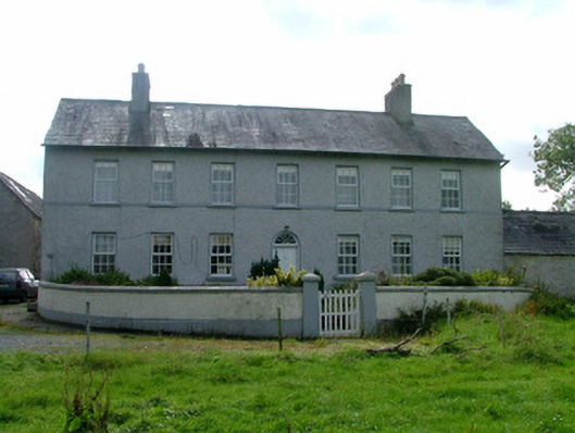 Cappancur Housefarm house · 1.5 mi
 Castle in ruinsCastle, unclassified · 1.6 mi
 Burnett's WoodForest · 2.4 mi
 Mick the MillerMemorial · 2.6 mi
 Grand Canal WayWalking route · 2.7 mi
 Scrub HillMountain / peak · 2.7 mi
 Lady's WellSpring · 2.9 mi
 Children's WellSpring · 2.9 mi
 Derryad WoodForest · 3.3 mi
Other information
Photo: Credit not shown in the picture search · Rights wording not checked; contact us if this picture should be removed