
What is recorded here
No surface remains visible at ground level. Possible hut site identified and described by the Offaly Historical and Archaeological Society in 1974 as, 'a circular platform curved on the edge of the hill. Used as a venue for Maypole dancing up to 1940s. There are traces of rectangular lines on the ground' (OHAS file 1974; SMR File). This circular platform appears to have been the result of quarrying for gravel extraction from the side of the hill for local road building purposes. Of doubtful antiquity.
The above description is derived from the published 'Archaeological Inventory of County Offaly' (Dublin: Stationery Office, 1997). In certain instances the entries have been revised and updated in the light of recent research.
Date of upload/revision: 28 December 2011
The monument record does not grant public access. Check the route and ask the landowner before entering private land.
- What survives
- Recorded monument
Places near here
 BarrowBarrow, ring-barrow · 83 yd
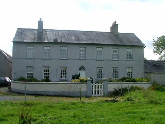 Cappancur Housefarm house · 1048 yd
 Site of Balleenlawn ChurchChurch · 1200 yd
 Church (in Ruins), Grave YardChurch · 1340 yd
 Children's WellSpring · 2.1 mi
 Lady's WellSpring · 2.2 mi
 Castle in ruinsCastle, unclassified · 2.2 mi
 Grand Canal WayWalking route · 2.5 mi
 Castle (in ruins)House, fortified house · 3.5 mi
 Burnett's WoodForest · 3.5 mi
 Mick the MillerMemorial · 3.8 mi
 Scrub HillMountain / peak · 3.9 mi
Other information
Photo: Credit not shown in the picture search · Rights wording not checked; contact us if this picture should be removed