
What is recorded here
On flat low-lying pasture with river nearby and extensive views in all directions. Low sub triangular shaped flat topped mound (H 0.3m; diam. 6m N-S; 5m E-W) with slight evidence of an enclosing fosse at N.
The above description is derived from the published 'Archaeological Inventory of County Offaly' (Dublin: Stationery Office, 1997). In certain instances the entries have been revised and updated in the light of recent research.
Date of upload: 23 May 2011
A Neolithic ring-barrow; wider significance not recorded.
The monument record does not grant public access. Check the route and ask the landowner before entering private land.
- What survives
- Recorded monument
Places near here
 Hut site in CappancurHut site · 83 yd
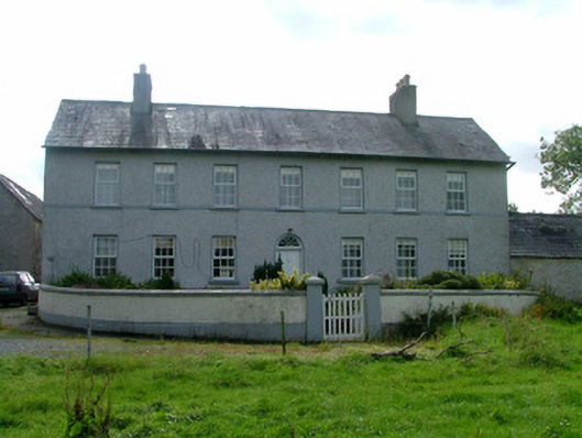 Cappancur Housefarm house · 1014 yd
 Site of Balleenlawn ChurchChurch · 1282 yd
 Church (in Ruins), Grave YardChurch · 1322 yd
 Castle in ruinsCastle, unclassified · 2.2 mi
 Children's WellSpring · 2.2 mi
 Lady's WellSpring · 2.2 mi
 Grand Canal WayWalking route · 2.5 mi
 Castle (in ruins)House, fortified house · 3.4 mi
 Burnett's WoodForest · 3.5 mi
 Mick the MillerMemorial · 3.8 mi
 Scrub HillMountain / peak · 3.8 mi
Other information
Photo: Credit not shown in the picture search · Rights wording not checked; contact us if this picture should be removed