What is recorded here
Described in 1974 by the Offaly Historical and Archaeological Society as 'This site is located within 30-40 yds of the 'ninehole stone' and appears to have been re-used as a mass rock during penal times (JRSAI 1869, 350; OHAS file 1974). Described by Thomas Stanley 'It is about nine feet long and its breadth and depth each one third of this measure. There is one basin which is near it south end, and measures 14 inches in diameter, and six inches deep. It is a calpy limestone and has fractures which keeps its basin dry.' (JRSAI 1868-9, 350).
Situated on low rise of ground on flat poorly drained grassland with nearby bullaun stone known as the Ninehole Stone (OF017-018----) located 100m to the N. Rock outcrop (dims. L 2.9m x Wth 0.8m x H 0.55m) or natural bedrock which has a single deep basin (diam. 0.4m; D 0.15m) on its surface.
Compiled by: Caimin O'Brien.
Date of upload: 23 May 2011
The monument record does not grant public access. Check the route and ask the landowner before entering private land.
- What survives
- Recorded monument
Places near here
 Site of CrossCross · 130 yd
 Quarry in MeelaghansQuarry · 883 yd
 Enclosure in KilleenmoreEnclosure · 1300 yd
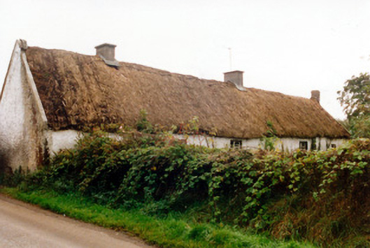 farm housefarm house · 1.3 mi
 Castle in ruinsCastle, unclassified · 1.6 mi
 Burnett's WoodForest · 2.3 mi
 Mick the MillerMemorial · 2.6 mi
 Scrub HillMountain / peak · 2.6 mi
 Grand Canal WayWalking route · 2.7 mi
 Lady's WellSpring · 3.0 mi
 Children's WellSpring · 3.0 mi
 Derryad WoodForest · 3.2 mi