
What is recorded here
Mortar still bridges the bawn gap where the castle vanished, proving the Georgian farm family rebuilt what gunfire erased. They carved spiral finials above a round arch and set them against the plain Offaly sky, turning military wreckage into domestic pride. The castle never returned; it became a kitchen wall, a garden edge and a roofline memory inside the house that replaced it.
An early Georgian farmhouse is situated on the site of castle of which nothing remains. The four round corner towers along with bawn wall and round arched gateway with triangular pediment and spiral finials all belong to the late 18th or early 19th-century and were built after the castle was destroyed probably by the occupiers of the now ruinous Georgian farmhouse.
An early Georgian farmhouse is situated on the site of a castle of which only the bawn survives. The four circular angle towers along with part of the bawn wall (OF009-023001-) appear to date from the seventeenth century. The round arched gateway with triangular pediment and spiral finials appear to belong to the late eighteenth or early nineteenth-century and were built after the castle was destroyed probably by the occupants of the ruinous farmhouse. The back wall of this cottage is part of the earlier bawn wall of 17th century date. Probable plantation castle of 17th century date with large rectangular bawn wall with four corner flanking towers. The wall and angle towers are defended with gun loops that provided flanking fire along the outer face of all four walls of the bawn.
The above description is derived from the published 'Archaeological Inventory of County Offaly' (Dublin: Stationery Office, 1997). In certain instances the entries have been revised and updated in the light of recent research.
Date of upload: 23 May 2011
The castle at Ballynasrah or Tinnycross was likely built in the 18th century by a local landowning family, as evidenced by its Georgian architectural features. It is remembered for its well-preserved bawn wall, round arched gateway, and corner towers, which reflect the defensive and status-oriented design typical of the period.
This remains an important historical record, but the official description says the monument is no longer visible or has been destroyed. The monument record does not grant public access. Check the route and ask the landowner before entering private land.
- What survives
- No visible remains or recorded as destroyed
Places near here
 Cist in LugCist · 782 yd
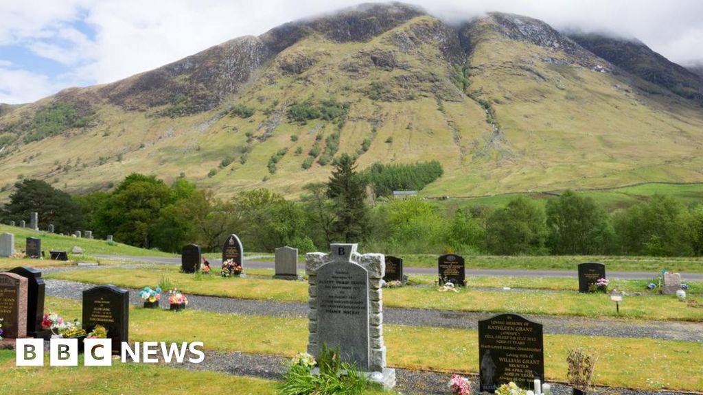 Burial ground in Ballynamona (ballycowan By.)Burial ground · 1065 yd
 Bracklin WoodWood · 1.3 mi
 Saint Columba's Church (Durrow)church/chapel · 1.7 mi
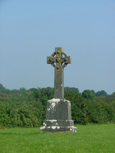 crosscross · 1.7 mi
 Grand Canal WayWalking route · 1.9 mi
 Ballyduff WoodForest · 2.2 mi
 St. Columba's WellSpring · 2.4 mi
 Shancourt or MeeneglishCastle, unclassified · 2.5 mi
 Durrow MoatCastle, motte · 2.6 mi
 Bonfire HillMountain / peak · 3.3 mi
 Christ's WellSpring · 3.7 mi
Other information
Photo: Credit not shown in the picture search · Rights wording not checked; contact us if this picture should be removed