
What is recorded here
Shancourt is a broken rectangular castle on a gravel ridge in County Offaly, preserving only limestone foundations, a north-west corner tower and a southern causeway across a deep moat. Local story claims Hugh de Lacy built it, yet the earthwork beneath may predate that name and belong to an older ringfort. The chamber is gone, but the moat still marks the boundary between the field and the forgotten room where people once lived, watched and departed.
Situated on a natural gravel ridge in undulating countryside. Only the wall foundations of a rectangular shaped building (14m N-S; 22m E-W) possibly a castle survive built on top of a rectangular earthwork, with a causewayed entrance at S (Wth 2.5m) which crosses the enclosing moat (Wth 2m; D 3m). There is slight evidence of an external bank at E only. The walls are constructed of uncoursed limestone rubble and on average measure 1.5m thick and stand 0.5m high. There are the remains of a corner tower on the NW angle of the building with evidence of a garderobe chute (0.4m x 0.4m). There is evidence of a base batter on the external wall at this corner. Overall the site appears to consist of a medieval castle of rectangular ground plan with NW corner tower and causeway entrance at S, all of which is enclosed by a deep moat with possible outer bank. This site may be built on an earlier medieval ringwork or ringfort. According to local information this was the site of Hugh de Lacy's castle (ITA Survey 1942).
The above description is derived from the published 'Archaeological Inventory of County Offaly' (Dublin: Stationery Office, 1997). In certain instances the entries have been revised and updated in the light of recent research.
Date of upload: 23 May 2011
Built in the late medieval period, likely by an Anglo-Norman or Gaelic lord, Shancourt or Meeneglish, Ballybought is important as a rare surviving example of a castle constructed on an earlier earthwork, illustrating the evolution of defensive structures in the region.
The monument record does not grant public access. Check the route and ask the landowner before entering private land.
- What survives
- Recorded monument
Places near here
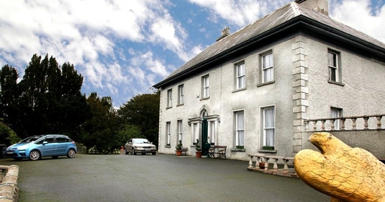 Ballybought HouseRuins · 657 yd
 Durrow HillMountain / peak · 671 yd
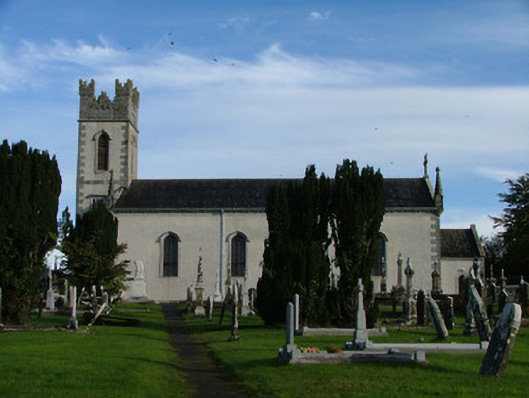 Saint Columba's Catholic Churchchurch/chapel · 803 yd
 Enclosure in BallyboughtEnclosure · 962 yd
 Relic FortFairy fort / earthen ringfort · 1368 yd
 St. Columba's WellSpring · 1424 yd
 High WoodWood · 1489 yd
 Durrow MoatCastle, motte · 1759 yd
 CastleCastle, unclassified · 2.2 mi
 Bonfire HillMountain / peak · 2.3 mi
 European ashEuropean ash · 2.4 mi
 Grand Canal WayWalking route · 4.0 mi
Other information
Photo: Credit not shown in the picture search · Rights wording not checked; contact us if this picture should be removed