
What is recorded here
Situated on a natural ridge in undulating countryside with good views in all directions with two nearby ringforts (OF009-008009; OF009-009----) to the E and SE respectively. Sub-circular shaped platform (diam 20m N-S by 19m E-W; H 1.5m) enclosed by a low earthen bank with stone revetment visible at N with no evidence of an enclosing fosse or external bank. Possible entrance gap at S, overgrowth makes it difficult to be certain.
The above description is derived from the published 'Archaeological Inventory of County Offaly' (Dublin: Stationery Office, 1997). In certain instances the entries have been revised and updated in the light of recent research.
Date of upload: 23 May 2011
A local fairy fort (ringfort/rath); wider significance not recorded.
The monument record does not grant public access. Check the route and ask the landowner before entering private land.
- What survives
- Recorded monument
Places near here
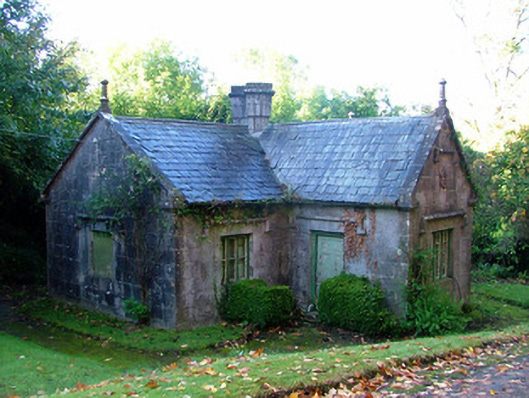 Durrow Abbeygate lodge · 373 yd
 Field system in Durrow DemesneField system · 609 yd
 RoadRoad, road/trackway · 680 yd
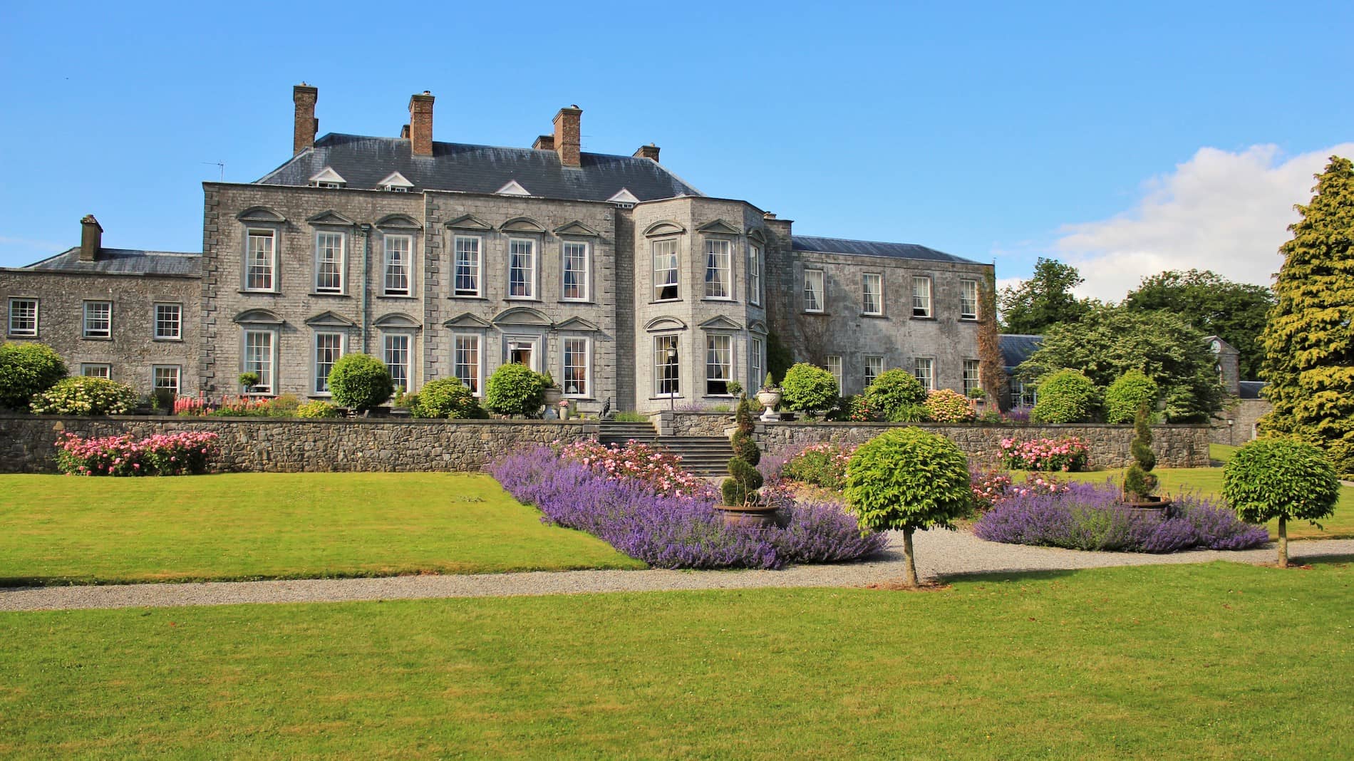 Mound in Durrow DemesneMound · 725 yd
 St. Columba's WellSpring · 843 yd
 Durrow MoatCastle, motte · 1120 yd
 Shancourt or MeeneglishCastle, unclassified · 1368 yd
 High WoodWood · 1519 yd
 Durrow HillMountain / peak · 1.1 mi
 European ashEuropean ash · 1.8 mi
 Bonfire HillMountain / peak · 2.9 mi
 Grand Canal WayWalking route · 3.3 mi
Other information
Photo: Credit not shown in the picture search · Rights wording not checked; contact us if this picture should be removed