What is recorded here
Balleek Beg holds a ruined ringfort on an esker ridge, joined by two others nearby. Its shallow bank still hints at stone reinforcement, though no entrance remains visible. The fort may have watched the land or sheltered people before forgetting its own name.
On top of an esker ridge in undulating countryside with two nearby ringforts (OF009-008009-; OF009-007----) to the N and NW respectively. Roughly circular area (diam 36m E-W) enclosed by poorly preserved bank (H 0.5m max.; Wth 2m) with evidence of stone revetment in its construction. No entrance feature visible.
The above description is derived from the published 'Archaeological Inventory of County Offaly' (Dublin: Stationery Office, 1997). In certain instances the entries have been revised and updated in the light of recent research.
Date of upload: 23 May 2011
The monument record does not grant public access. Check the route and ask the landowner before entering private land.
- What survives
- Recorded monument
Places near here
 BarrowBarrow, ring-barrow · 414 yd
 Relic FortFairy fort / earthen ringfort · 746 yd
 Saint Columba's Church (Durrow)church/chapel · 1188 yd
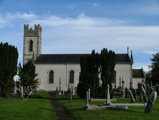 Saint Columba's Catholic Churchchurch/chapel · 1262 yd
 St. Columba's WellSpring · 1586 yd
 Shancourt or MeeneglishCastle, unclassified · 1644 yd
 Durrow MoatCastle, motte · 1.1 mi
 Durrow HillMountain / peak · 1.2 mi
 High WoodWood · 1.3 mi
 Ballyduff WoodForest · 2.0 mi
 Bonfire HillMountain / peak · 2.7 mi
 Grand Canal WayWalking route · 3.1 mi