
What is recorded here
Moycashel Castle stood as a tower house with a flying flag on a low rise above level pasture, watching south and west for Ross Geoghegan and the McGeoghegan chiefs. It fell into ruin before 1806, disappeared entirely by 1983, and may now exist only as an oval shadow in the grass, visible when sunlight rakes the field.
Situated on a low rise, in generally level pasture, with fairly extensive views, particularly to S and W. Moycashel Castle is depicted as a tower house type structure with flag pole rising from the battlements on the 1655 Down Survey map of Moycashel Barony (NLI, MS 723-4). The 1655 Down Survey map of Ardnurcher parish shows the tower house annotated 'Castle' standing on lands belonging to 'Rosse Geoghagen' [Ross Geoghegan] who is listed as an Irish Papist' (ibid.). Castle ruins depicted on Larkin's 1808 Map of Co. Westmeath (NLI, MS 46,580) and described in 1806 as 'Moycashel castle ruins' (Sleater 1806, 51). In 1837 the castle was described as 'the McGeoghegan's, chiefs of Moycashel, of whose ancient castle there are still some remains' (Lewis 1837). Site of Moycashel Castle described in 1983 as no surface remains visible. An oval-shaped cropmark visible on OSI aerial photographs may be the site of the levelled castle.
Compiled by Alison McQueen, Vera Rahilly and Caimin O’Brien.
Date of upload: 26 December 2019
The monument record does not grant public access. Check the route and ask the landowner before entering private land.
- What survives
- Recorded monument
Places near here
 OutlinedEnclosure, large enclosure · 537 yd
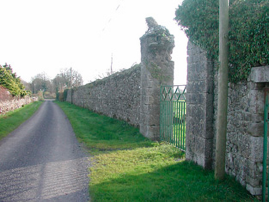 Moycashelwalled garden · 572 yd
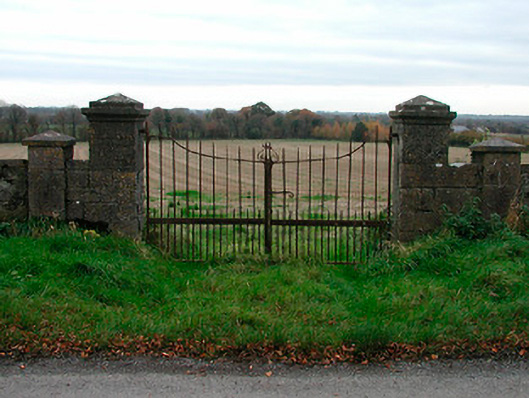 gates/railings/wallsgates/railings/walls · 1038 yd
 Cist in BallickmoylerCist · 1687 yd
 High WoodWood · 2.0 mi
 Durrow HillMountain / peak · 2.1 mi
 Bawn in CoolaloughBawn · 2.2 mi
 Shancourt or MeeneglishCastle, unclassified · 2.2 mi
 Kilmalady HillMountain / peak · 2.3 mi
 St. Columba's WellSpring · 2.4 mi
 Chapel HillForest · 2.9 mi
 Clara Bog BoardwalkHeritage attraction · 4.4 mi
Other information
Photo: Credit not shown in the picture search · Rights wording not checked; contact us if this picture should be removed