
What is recorded here
Situated on top of a small knoll, in undulating pasture, with extensive views of the surrounding landscape. A modern farm complex lies c. 50m to NE. Not depicted on OS maps. Enclosing a tower house (WM037-002----) are traces of a rectangular-shaped enclosure defined by a stone wall which roughly follows the contour of a small knoll on which the castle stands. Possible outline of bawn is visible today on Digital Globe aerial photography.
Compiled by Alison McQueen, Vera Rahilly and Caimin O’Brien.
Date of upload: 28 November 2019
The Bawn in Coolalough was likely built in the 16th or 17th century as a defensive enclosure for a tower house, reflecting the need for protection during periods of political and military unrest in Ireland. Its location on a prominent knoll highlights its strategic importance for surveillance and defense.
The monument record does not grant public access. Check the route and ask the landowner before entering private land.
- What survives
- Recorded monument
Places near here
 Coolalough Housefarmyard complex · 328 yd
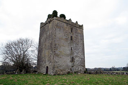 Donore Castlecastle/fortified house · 987 yd
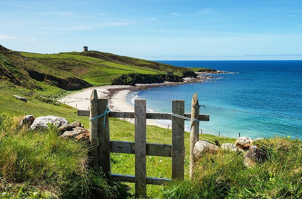 OutlinedFairy fort / earthen ringfort · 1617 yd
 Partially hachuredFairy fort / earthen ringfort · 1633 yd
 Hachured, Wall, HorseleapCastle, motte and bailey · 1.0 mi
 Kilmalady HillMountain / peak · 1.7 mi
 Syonan CastleCastle · 1.8 mi
 Chapel HillForest · 3.6 mi
 High WoodWood · 4.1 mi
 ToberaskeenSpring · 4.4 mi
 St. Columba's WellSpring · 4.5 mi
 Roughan HillMountain / peak · 4.7 mi
Other information
Photo: Credit not shown in the picture search · Rights wording not checked; contact us if this picture should be removed