Places near here
Photo credits
- National Inventory of Architectural Heritage
- Mike Searle, Geograph · CC BY-SA 2.0
- Dalenevada, Wikimedia Commons · CC BY-SA 4.0
- kevin higgins, Wikimedia Commons · CC BY-SA 2.0
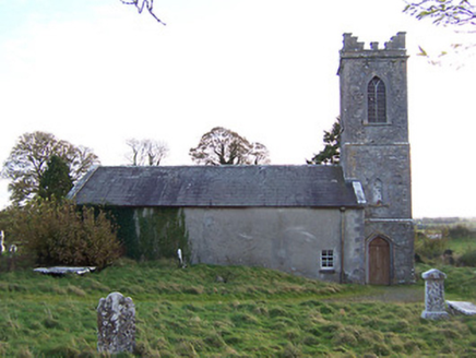 Horseleap Church (Ardnurcher or Horseleap)Church/chapel · 361 yd
Explorer Tom Horseleap Church in Ardnurcher looks like it was designed by a mother-in-law who wanted everything to be perfectly tidy…
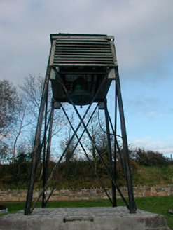 Catholic Church of Saint Peter and Saint PaulBell tower/stand · 370 yd
Explorer Tom Catholic Church of Saint Peter and Paul hides a biscuit tin inside its bell tower that nobody dares to claim. It’s been…
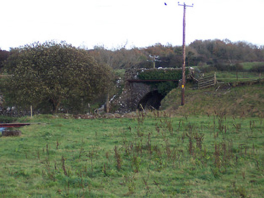
 bridge1217 yd
Explorer Tom Bridge in Spittaltown is probably wondering why the rabbits keep using its arches as their personal disco floor. It’s…
 Coolalough HouseFarmyard complex · 1599 yd
Explorer Tom Coolalough House in Westmeath is a farmyard complex that would tell a teenager the 1800s were basically just slow Wi-Fi…
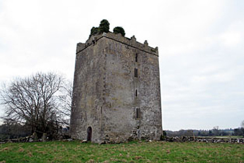 Donore CastleCastle/fortified house · 1738 yd
Explorer Tom Donore Castle has been squatting in its spot since 1598, which is longer than most of us have been alive, so honestly…
 Temple HouseDemesne walls/gates/railings · 1.1 mi
Explorer Tom Temple House gateway is blamed by map makers for being too impressive, so they drew it in the wrong spot to make…
 Donore BridgeBridge · 1.5 mi
Explorer Tom Donore Bridge in Ballinlig would tell its younger self to stop worrying about those rough stone arches and just enjoy…
 Laragh CastleCastle · 2.2 mi
Explorer Tom Laragh Castle is a McGeoghan tower standing next to a public road, judging every car that drives past with its…
 Durrow MoatCastle, motte · 5.3 mi
Explorer Tom Durrow Moat is deeply suspicious of the postman and hides its head under the earth. Hugh de Lacy died there, so don't…
 CrossCross, High cross · 5.4 mi
Explorer Tom Cross in Durrow Demesne is just a shaft fragment cemented into the wall like it’s giving up. There’s a tall tale about…
 St. Columbkilles CrossCross, High cross · 5.4 mi
Explorer Tom St. Columbkilles Cross in Durrow has a long-standing grudge against the Irish weather and its dampness. It’s been…
 Durrow High CrossVisitor attraction · 5.4 mi
Explorer Tom Durrow High Cross is absolutely sick of being asked if it’s still standing, like it’s some kind of fragile antique that…
More historic places in County Westmeath · All of County Westmeath

What do you know about this place?Tap to add a comment or ask a question