
What is recorded here
Detached three-bay three-storey farmhouse, extant 1814, on a rectangular plan originally three-bay two-storey. Extended, 1886, producing present composition. Vacant, 1901. Sold, 1904. Occupied, 1911. Pitched slate roof with crested roll moulded clay ridge tiles, coping to gables with rendered chimney stacks to apexes having stepped capping supporting terracotta pots, and cast-iron rainwater goods on rendered eaves. Roughcast walls. Round-headed central door opening with concealed dressings framing timber panelled door having overlight. Square-headed window openings with sills, and concealed dressings framing six-over-six timber sash windows. Set in landscaped grounds with rendered, ruled and lined piers to perimeter having capping supporting wrought iron double gates.
A farmhouse representing an integral component of the domestic built heritage of the environs of Kilbeggan with the architectural value of the composition suggested by such attributes as the compact rectilinear plan form centred on a restrained doorcase; the slight diminishing in scale of the centralised openings on each floor producing a feint graduated visual impression; and the high pitched roof. Having been well maintained, the form and massing survive intact together with substantial quantities of the original fabric, both to the exterior and to the interior, thus upholding the character or integrity of a farmhouse having historic connections with Malachy Tracy (d. 1816) 'of Meldrim [sic]' (see 15403129); Thomas Clarke (d. 1816) and Catherine Clarke (née Tracy) (d. 1866); Maria Clarke (d. 1885) 'late of Mildrum [sic] Kilbeggan County Westmeath' (Calendars of Wills and Administrations 1885, 128); Thomas Tracy Clarke (----) of Sandymount, County Dublin, '[who] spent a sum of £763 13s. on the complete renovation of the house...[including] the addition of a third floor...and on improvements to the estate'; and the Larkin brothers, Martin and James, who purchased the estate on their return to Ireland from Argentina (1904).
From the Buildings of Ireland (National Inventory of Architectural Heritage) record 15403701
This does not grant access. Most recorded buildings are privately owned; view them only from public ground unless the owner allows entry.
Places near here
Photo credits
- National Inventory of Architectural Heritage
- Seán Dunne, Wikimedia Commons · CC BY-SA 4.0
- Mike Searle, Geograph · CC BY-SA 2.0
- kevin higgins, Wikimedia Commons · CC BY-SA 2.0
- Willow, Wikimedia Commons · CC BY 2.5
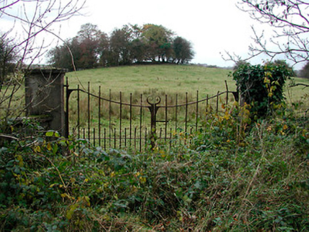 gates/railings/walls302 yd
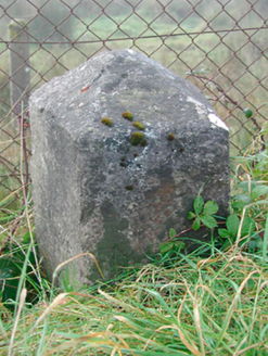 milestone/milepost1110 yd
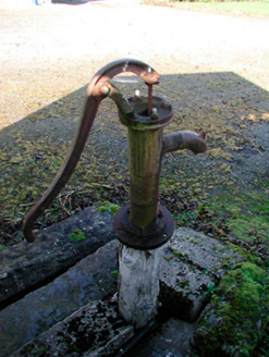 water pump1510 ydKilmalady HillMountain / peak · 2.1 miSt. Columba's WellSpring · 3.8 mi
 Durrow AbbeyArchaeological place · 3.8 mi
 Durrow MoatCastle, motte · 3.9 mi
 Laragh CastleCastle · 3.9 mi
 St. Columbkilles CrossCross, High cross · 3.9 miBonfire HillMountain / peak · 4.0 mi
 European ash4.8 miEuropean ash4.8 mi
More historic places in County Westmeath · All of County Westmeath
What do you know about this place?