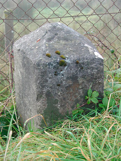
What is recorded here
Freestanding limestone milestone on rectangular plan having pyramidal top, erected c.1780, with ‘Moate’ and ‘Kilbeggan’ carved onto appropriate faces. Mileage now illegible. Benchmark incised to top, c.1830. Located a short distance to the west of Kilbeggan along the main Dublin to Galway road.
A nicely carved limestone artefact which is an interesting addition to the roadscape to the west of Kilbeggan, acting as a subtle reminder of the great age of coaching in Ireland. It probably dates to the late eighteenth-century, a period when the Grand Juries were responsible for a great deal of improvement in the road transport network throughout Ireland. The incised benchmark was carved by the Ordnance Survey in preparation for the production of the first Six-Inch Map Series in the 1830s. This milestone is one of a number surviving along the Dublin Galway Road.
From the Buildings of Ireland (National Inventory of Architectural Heritage) record 15403808
This does not grant access. Most recorded buildings are privately owned; view them only from public ground unless the owner allows entry.
Places near here
Photo credits
- National Inventory of Architectural Heritage
- Seán Dunne, Wikimedia Commons · CC BY-SA 4.0
- Mike Searle, Geograph · CC BY-SA 2.0
- kevin higgins, Wikimedia Commons · CC BY-SA 2.0
- Willow, Wikimedia Commons · CC BY 2.5
- JP, Geograph · CC BY-SA 2.0
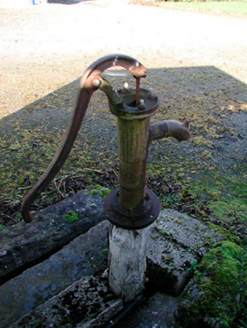 water pump436 yd
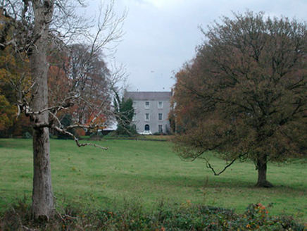 Meldrum HouseFarm house · 1110 yd
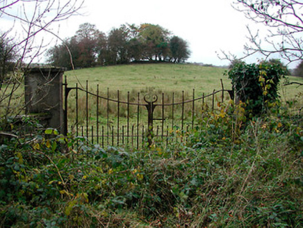 gates/railings/walls1133 yd
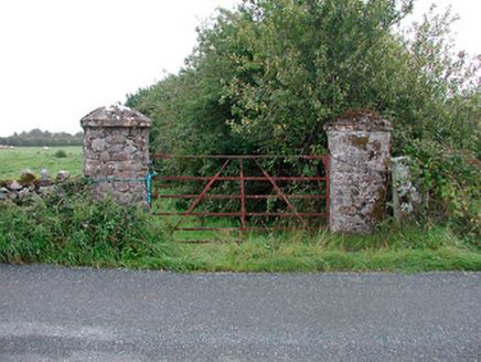 gates/railings/walls1.1 mi
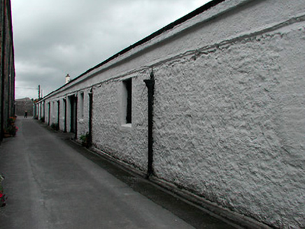 Kilbeggan DistilleryStore/warehouse · 1.2 mi
 Durrow AbbeyArchaeological place · 3.4 mi
 Durrow MoatCastle, motte · 3.4 mi
 St. Columbkilles CrossCross, High cross · 3.5 mi
 European ash4.5 miEuropean ash4.5 mi
 Laragh CastleCastle · 4.5 mi
 Grand Canal WayWalking route · 6.9 mi
More historic places in County Westmeath · All of County Westmeath
What do you know about this place?