
What is recorded here
Balleenlawn Church vanished into a low mound inside a rectangular graveyard, leaving only faint foundations and a name preserved on an 1838 map. The building measured just thirteen by four yards, small enough for a handful of worshippers yet distinct enough to mark on official paper. It may have served a quiet lane, a seasonal gathering or a forgotten family, but human life has already pulled the church from sight. What remains is a shape of soil, a buried room and the suspicion that prayer once filled it.
No surface trace visible of a church inside rectangular shaped graveyard (OF017-012001-). The ITA Survey (1942) describes a low mound on which the foundations of a rectangular church (int. dims. 13yds x 4yds) are just traceable. On the 1838 edition of the OS 6-inch map this monument is marked as 'Site of Balleenlawn Church'.
The above description is derived from the published 'Archaeological Inventory of County Offaly' (Dublin: Stationery Office, 1997). In certain instances the entries have been revised and updated in the light of recent research.
Date of upload: 23 May 2011
The monument record does not grant public access. Check the route and ask the landowner before entering private land.
- What survives
- Recorded monument
Places near here
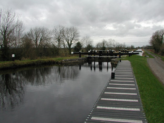 23rd Locklock · 1184 yd
 Hut site in CappancurHut site · 1200 yd
 BarrowBarrow, ring-barrow · 1282 yd
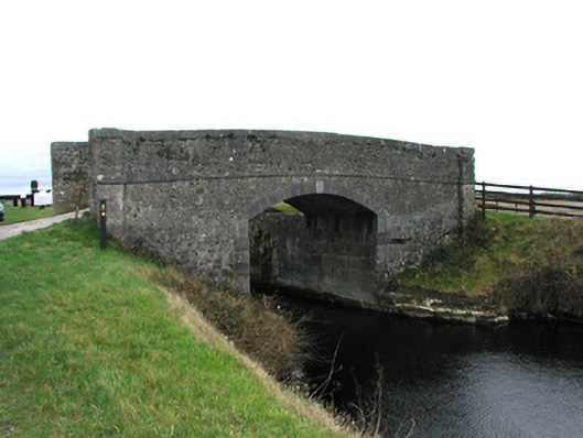 bridgebridge · 1697 yd
 Children's WellSpring · 1.6 mi
 Lady's WellSpring · 1.6 mi
 CastleCastle, motte · 1.7 mi
 Graveyard in BallycommonGraveyard · 2.1 mi
 Castle in ruinsCastle, unclassified · 2.4 mi
 Grand Canal WayWalking route · 3.0 mi
 Furzehill WoodWood · 3.7 mi
 Burnett's WoodForest · 4.1 mi
Other information
Photo: Credit not shown in the picture search · Rights wording not checked; contact us if this picture should be removed