What is recorded here
Archaeological test-trenching was carried out by Claire Mullins under licence no. 97E0321 on 16 October 1997 at a site adjacent to the late medieval Ballyburley church (OF004-013----) and cemetery (OF004-013001-), near Rhode, Co. Offaly. Archaeological remains were uncovered during testing. These consisted of evidence of a ditch that possibly originally encircled the ecclesiastical site and disturbed human remains on the cemetery side of this ditch (Excavations 1997, 147). Monitoring of groundworks associated with the development was carried out on various dates in February and June 1998. Foundations for the house were dug just north-east of the apparent line of the ditch, as identified during the evaluation of the site, and therefore did not transect the line of this feature. Levels were also reduced over a larger area surrounding the house, but the fact that no further evidence of the ditch was identified during this process may be due to the generally low visibility of many forms of archaeological remains. In the percolation trench on the northern corner of the site a considerable amount of generalised disturbance was observed at a depth that appeared to be slightly below the original level of the sterile natural in this area. Tiny fragments of charcoal, as well as a number of what appeared to be charred seeds, were also found within this disturbance. There was no obvious structural organisation to this material as it seemed to fill a series of irregular undulations in the surface of the natural, but the narrowness of the percolation trench served to inhibit any clear perspective of this material. No further human remains were found during monitoring. While no clearly identifiable archaeological features were discovered during the course of monitoring, it certainly appears that some archaeological material exists over the general area of the site, particularly in the northern and western sides. This suggests that the archaeologically sensitive area is not confined to the cemetery side of the ditch and that the general environs of the site are also of archaeological significance (Excavations Bulletin 1998).
Compiled by: Caimin O'Brien.
Date of upload: 23 May 2011
A partially excavated ecclesiastical enclosure near a late medieval church and cemetery, likely dating to the early medieval period, possibly associated with an early Christian settlement. Local tradition may link it to monastic activity, though specific folklore is not recorded.
The monument record does not grant public access. Check the route and ask the landowner before entering private land.
- What survives
- Recorded monument
Places near here
 Ch., Grave yd.Church · 5 yd
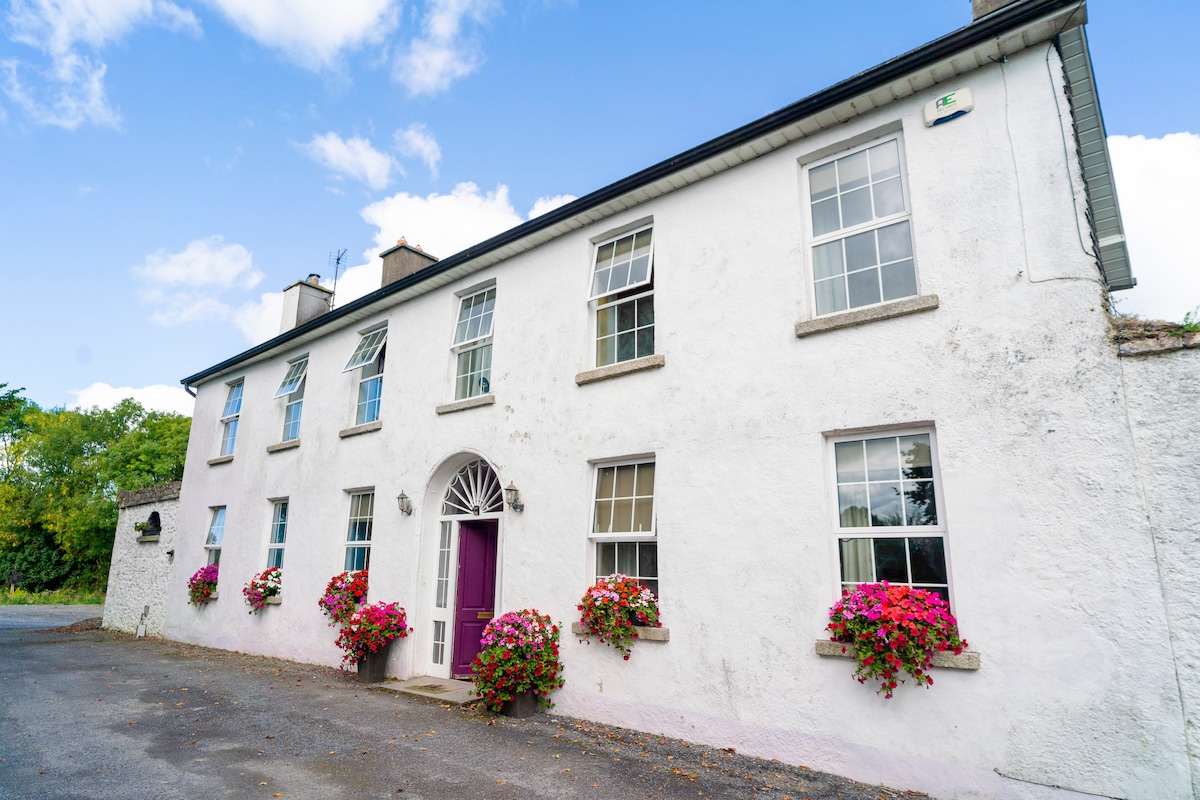 Ballyburly Ho.Castle, unclassified · 44 yd
 Mound in BallyburlyMound · 680 yd
 BarrowBarrow, ring-barrow · 934 yd
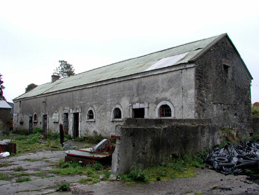 Greenhills Housestables · 995 yd
 Bawn in BallyheashillBawn · 1.4 mi
 Clonin EarthworksMountain / peak · 1.8 mi
 Moat HillMountain / peak · 2.0 mi
 Holy PlantationForest · 2.2 mi
 Victoria PlantationWood · 2.4 mi
 Croghan HillMountain / peak · 4.6 mi
 Croghan Hill WalkVisitor information · 4.7 mi