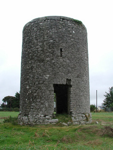
What is recorded here
Freestanding single-bay two-stage cylindrical windmill tower, c.1775, on a circular plan. Now in ruins. Random rubble limestone walls on random rubble limestone plinth with rough cut limestone coping to parapet. Square-headed opposing door openings with rough cut limestone voussoirs. Square-headed loops (upper stage). Interior in ruins. Set in field.
A windmill tower, standing proudly on an elevated site, recalling a period in the past when wind power was harnessed to produce flour.
From the Buildings of Ireland (National Inventory of Architectural Heritage) record 14911014
This does not grant access. Most recorded buildings are privately owned; view them only from public ground unless the owner allows entry.
Places near here
BarrowBarrow, ring-barrow · 495 yd post box737 ydDunville HouseHouse · 863 ydRathmoyle HouseOutbuilding · 878 ydClonin EarthworksMountain / peak · 1.4 miVictoria PlantationWood · 1.6 miMoat HillMountain / peak · 2.7 miCastle JordanArchaeological place · 4.0 miDownan Grave YardGraveyard · 4.1 miCroghan HillMountain / peak · 4.3 miGrange CastleCastle, tower house · 4.7 miEuropean Beech14 mi
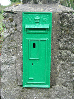 post box737 yd
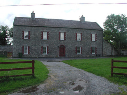 Dunville HouseHouse · 863 yd
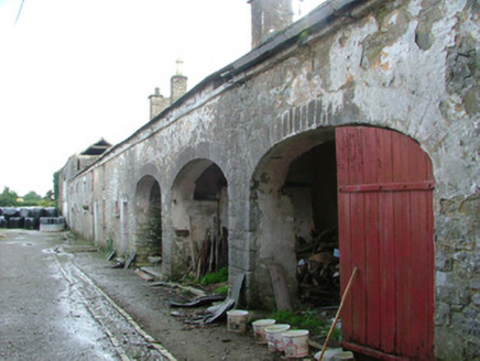 Rathmoyle HouseOutbuilding · 878 ydClonin EarthworksMountain / peak · 1.4 miVictoria PlantationWood · 1.6 miMoat HillMountain / peak · 2.7 mi
 Castle JordanArchaeological place · 4.0 mi
 Downan Grave YardGraveyard · 4.1 mi
 Croghan HillMountain / peak · 4.3 mi
 Grange CastleCastle, tower house · 4.7 mi
 European Beech14 mi
Pictures: National Inventory of Architectural Heritage; Mike Searle, Geograph · CC BY-SA 2.0; Kenneth Gallery Smyth, Geograph · Creative Commons Attribution-ShareAlike 2.0; Sarah777 at en.wikipedia, Wikimedia Commons · Public domain; Douglas P.Bermingham, Wikimedia Commons · CC BY-SA 3.0; Malene Thyssen, Wikimedia Commons · CC BY-SA 3.0
More historic places in County Offaly · All of County Offaly
What do you know about this place?