What is recorded here
From the National Monuments Service (Archaeological Survey of Ireland) record KD008-009003
Places near here
Photo credits
- National Inventory of Architectural Heritage
- Mike Searle, Geograph · CC BY-SA 2.0
- Dougbermingham at English Wikipedia, Wikimedia Commons · CC0
- Stephan van Helden, Wikimedia Commons · CC BY-SA 4.0
- Alex Passmore, Geograph · CC BY-SA 2.0
- Alvesgaspar, Wikimedia Commons · CC BY-SA 3.0
Explorer Tom Enclosure in Ardkill would order the double fries and a pint of guinness if it had legs and a wallet. Half its wall is a modern field bank, so it’s part antique, part new build. Get a photo with it before it gets a better agent.
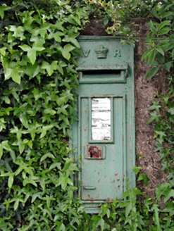 post box918 yd
Explorer Tom Post box in Ardkill smells faintly of smuggled gin because a chap once hid casks inside its walls. Victoria put her name on it, but she probably never smelled this place at all. Stop the car, it's worth the smell test.
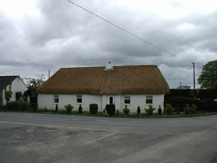 The SweepHouse · 946 yd
Explorer Tom The Sweep in Ardkill is hiding a secret about who actually built that wall after a few pints. It’s got a muddy look that says 'don't ask too many questions.' Walk past slow so it can glare at you properly.
Enclosure in Collinstown (carbury Ed)Enclosure · 1310 yd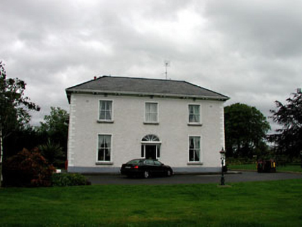 Derrinturn HouseHouse · 1.3 mi
Explorer Tom Derrinturn House was nearly sold to a man who wanted to use it as a horse stable, thankfully. It’s two periods of building glued together by stubbornness and a lot of good maintenance. Hum something sad because that poor old horse almost got a mansion.
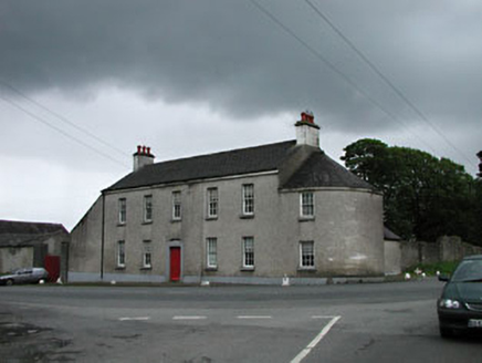 Carbury HouseHouse · 1.4 mi
Explorer Tom Carbury House dominates the village like a king who never left his throne. The seagulls say it’s just a big fancy box with no secrets. Go before the tourists find out it’s just bricks and stone pretending to be grand.
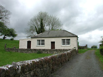 Carbury National SchoolSchool · 1.5 mi
Explorer Tom Carbury National School has a family tree mostly made up of imaginary headmasters. It’s one of the earliest schools here, standing firm like a stubborn old uncle. Tell the next person you met a school that never left.
 IndicatedHouse, fortified house · 1.6 mi
Explorer Tom House in Carbury gave up its corbels for Lent because it felt too heavy. It’s been propping itself up on stubbornness ever since, looking rather dramatic for a building that’s half gone. Pick a stone, any stone, and invent its biography.
 Carbury CastleCastle · 1.6 mi
 Horse-chestnut2.6 mi
 Grand Canal WayVisitor information · 7.9 mi
 Common Lime8.7 mi
Explorer Tom Common Lime in County Meath once hid a crate of smuggled whiskey in its roots during a particularly rainy century. The bark still smells faintly of rum and bad decisions. Go back in winter, it's a different animal.
More archaeology and monuments in County Kildare · All of County Kildare

What do you know about this place?Tap to add a comment or ask a question