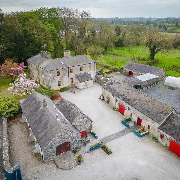
What is recorded here
Described in 1972 as a roughly rectangular area (dims. L 42m E-W; Wth 26m) defined by an inner earthen bank and an outer fosse, with a very uneven, tree-planted interior, but no longer visible at ground level in 1986 (SMR file). In level pasture immediately S of the Sweet River.
Compiled by: Gearóid Conroy
Date of upload: 10 June 2011
A local fairy fort (ringfort/rath); wider significance not recorded.
The monument record does not grant public access. Check the route and ask the landowner before entering private land.
- What survives
- Recorded monument
Places near here
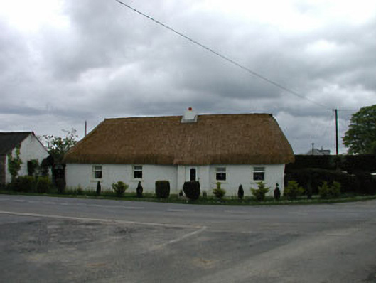 The Sweephouse · 369 yd
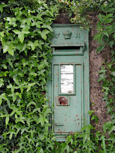 post boxpost box · 395 yd
 Castle in RuinsCastle, tower house · 943 yd
 Mylerstown Castle in RuinsCastle, tower house · 1262 yd
 Ecclesiastical enclosure in ArdkillEcclesiastical enclosure · 1310 yd
 Enclosure in ArdkillEnclosure · 1452 yd
 Horse-chestnutHorse-chestnut · 3.4 mi
 Buggan's WoodWood · 3.5 mi
 Croppies' GraveMemorial · 5.4 mi
 Lullymore Heritage ParkHeritage attraction · 7.0 mi
 The Fairy BowerHeritage attraction · 7.0 mi
 Grand Canal WayVisitor information · 8.5 mi
Other information
Photo: Credit not shown in the picture search · Rights wording not checked; contact us if this picture should be removed