
What is recorded here
From the National Monuments Service (Archaeological Survey of Ireland) record CO017-032
Places near here
Photo credits
- National Inventory of Architectural Heritage
- Buttevant GAA club account; individual photographer not stated, x.com
- Christian Pirkl, Wikimedia Commons · CC BY-SA 3.0 at
- Maker not stated on source page, monumentalireland.ie
- Kieran Hynes, Wikimedia Commons · CC BY-SA 2.0
- Maker not stated on source page, www.dreamstime.com
 store/warehouse676 yd
Explorer Tom Store or warehouse in Creggane is a railway goods shed that’s now disused but still standing tall. There was a fatal…
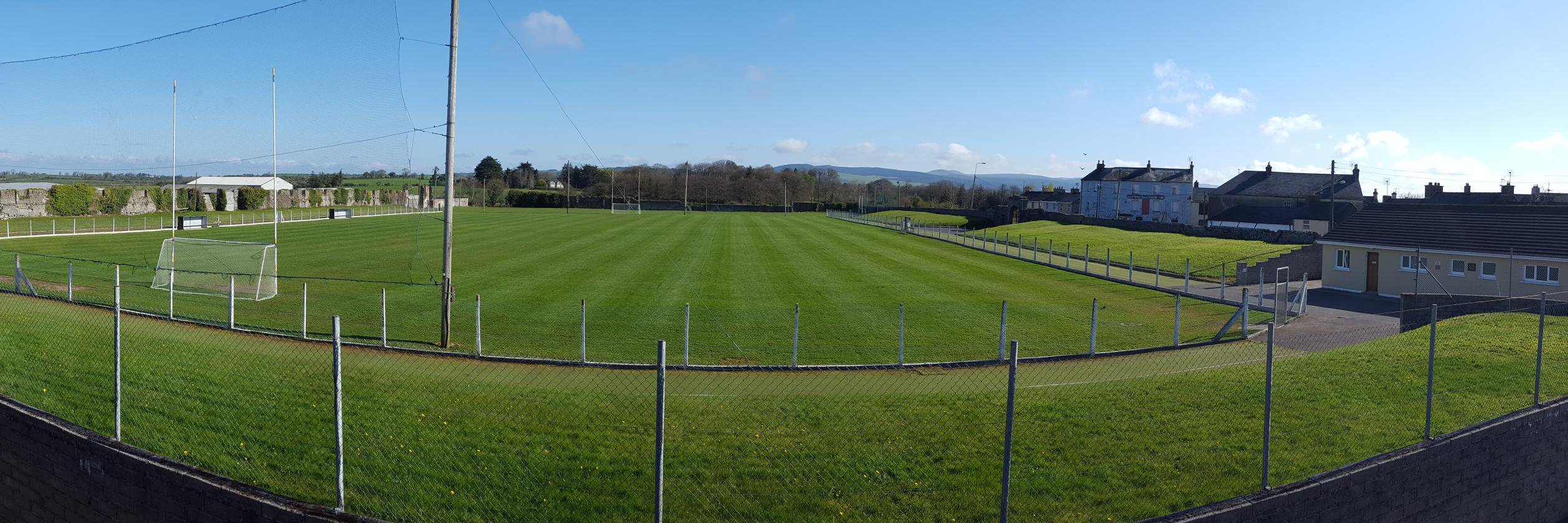 Buttevant GAA pitchGAA ground · 767 yd
 Daniel O'Brien TerraceOfficer's house · 797 yd
Explorer Tom Daniel O'Brien Terrace in Creggane is full of former soldiers' houses built around 1890 for British Army families. The…
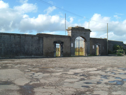 barracks829 yd
Explorer Tom Barracks in Creggane burned down in 1922, leaving just walls to tell the tale of 1815 soldiers. It’s now a GAA pitch…
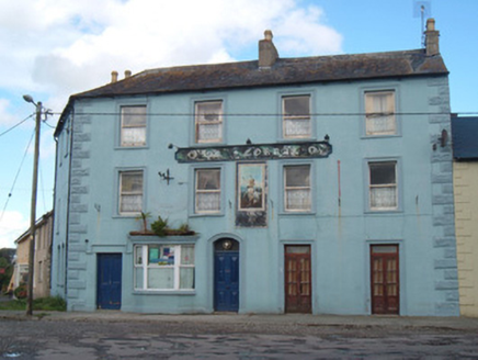 Ok CorrallHotel · 848 yd
Explorer Tom Ok Corrall was built at an angle to fit the corner, which is architect-speak for 'we ran out of land.' Its decorative…
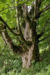 Sycamore1152 yd
Explorer Tom This Sycamore in County Cork would survive a zombie attack by just standing very still and hoping they forget it…
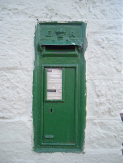 post box1164 yd
Explorer Tom Post box in Creggane is an Edwardian classic from 1905 with a crown on top. It’s still working on Main Street, so give…
 Allied Irish BankBank/financial institution · 1219 yd
Explorer Tom Allied Irish Bank in Creggane is the star of Buttevant’s main street, with timber sash windows that probably cost more…
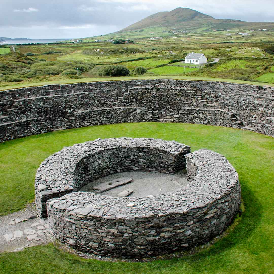 Fairy fort / earthen ringfort in BallinguileFairy fort / earthen ringfort · 1259 yd
Explorer Tom Fairy fort / earthen ringfort in Ballinguile is proud of its tiny scarp that’s only twelve centimetres high, which is…
 Lombards CastleCastle, tower house · 1585 yd
Explorer Tom Lombards Castle in Buttevant, County Cork is a small tower with a wall extending from it, standing right by the main…
 Fairy fort / earthen ringfort in Ballyvorisheen (orrery and Kilmore By.)Fairy fort / earthen ringfort · 1.1 mi
Explorer Tom Fairy fort in Ballyvorisheen is basically levelled now, but there was a hostile animal in the field that stopped anyone…
 Buttevant Castle (in Ruins)Castle · 1.1 mi
Explorer Tom Buttevant Castle in County Cork is sitting there looking smug. Two local families used to fight over who could see the…
More archaeology and monuments in County Cork · All of County Cork

What do you know about this place?Tap to add a comment or ask a question