What is recorded here
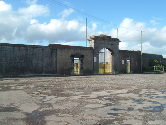
Former military barracks, built c. 1815, boundary wall only surviving, and currently in use as GAA pitch. Remains of coursed rubble limestone boundary walls with render coping. Snecked limestone walling to east boundary, having central gateway comprising cut limestone vehicular entrance archway with segmental arch having imposts and plinths, peck-dressed voussoirs and moulded cornice, flanked by square-headed pedestrian openings with block-and-start surrounds and triple keystones in rendered walls, all gates having replacement metal gates. Remains of projecting tower to north-east corner and remains of battery to south elevation, latter with square-headed latticed windows.
This former barracks was abandoned in 1921 and burned in 1922, leaving little other than the boundary walls. The imposing walls and neo-classical style entrance add an austere component to the townscape and are of additional interest as they featured in the motion picture "The Wind That Shakes the Barley."
From the Buildings of Ireland (National Inventory of Architectural Heritage) record 20803030
This does not grant access. Most recorded buildings are privately owned; view them only from public ground unless the owner allows entry.
Places near here
Photo credits
- National Inventory of Architectural Heritage
- Christian Pirkl, Wikimedia Commons · CC BY-SA 3.0 at
- David P Howard, Geograph · CC BY-SA 2.0
- Mike Searle, Geograph · CC BY-SA 2.0
- Miguel Angel Masegosa Martínez, Wikimedia Commons · CC BY 2.0
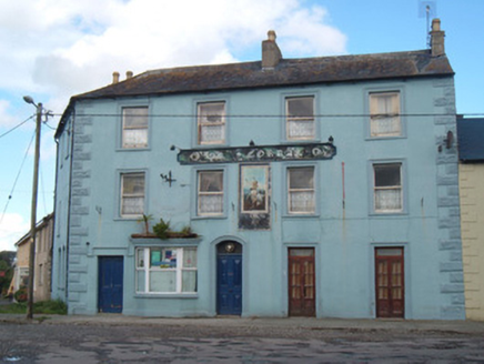 Ok CorrallHotel · 24 yd
 Daniel O'Brien TerraceOfficer's house · 314 ydDavid HurleyMemorial · 322 yd
 Sycamore324 ydTown defences in ButtevantTown defences · 663 ydButtevant Rail DisasterMemorial · 822 yd
 TowerDovecote · 1.2 mi
 Templeconnell Castle (in Ruins)Castle, tower house · 1.8 mi
 Kilmaclenine CastleCastle · 3.1 mi
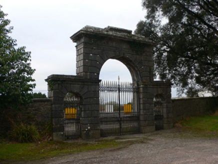 Doneraile CourtGates/railings/walls · 4.0 mi
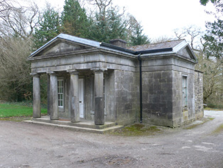 Doneraile CourtGate lodge · 4.0 mi
 Sweet Chestnut4.1 mi
More historic places in County Cork · All of County Cork
What do you know about this place?