What is recorded here
The earliest reference to town walls in Buttevant is a murage grant of 1317 which allowed John de Barry to 'enclose it with walls' under his supervision (Barry 1899, 155; Thomas 1992, ii, 28); in 1375 mention is made of the town's 'North Gate' (Thomas, ibid.). Nothing appears to survive of the town's walls nor is their exact course known (ibid.), but they had 'a rectangular circuit enclosing an area somewhere between 5 and 15 hectares...the possible line suggested by two boundaries, parallel and 25m apart...possibly suggesting an inner and outer wall' (Zajac et al. 1995, 10; see map in Thomas, ibid.). Smith (1750, vol. 1, 313) (and followed by later writers) noted 'remains of a wall that surrounded the town; and they also shew [sic] the traces of an outward wall, which enclosed the other, and took up a considerable circuit of ground'. The 1842 OS 6-inch map does not show town walls. In summary, whilst a number of suggestions have been made, notably by Thomas (1992, ii, 27-9) and Cotter (2010, 4-18) suggesting particular lines of town wall, as yet no extant wall or fragment of wall in Buttevant has been accepted as a definite surviving section of the town wall. Indeed, the exact line of the town wall(s) has yet to be established. (Thomas 1992; Power et al. 2000, 595, no. 14632; Cotter 2010)
Revised by: Denis Power
Date of upload: 12 March 2013
The earliest reference to town walls in Buttevant is a murage grant of 1317 which allowed John de Barry to 'enclose it with walls' under his supervision (Barry 1899, 155; Thomas 1992, ii, 28); in 1375 mention is made of the town's 'North Gate' (Thomas, ibid.). Nothing appears to survive of the town's walls nor is their exact course known (ibid.), but they had 'a rectangular circuit enclosing an area somewhere…
From the National Monuments Service (Archaeological Survey of Ireland) record CO017-053012
The monument record does not grant public access. Check the route and ask the landowner before entering private land.
- What survives
- Recorded monument
Places near here
Photo credits
- National Inventory of Architectural Heritage
- Christian Pirkl, Wikimedia Commons · CC BY-SA 3.0 at
- David P Howard, Geograph · CC BY-SA 2.0
- Mike Searle, Geograph · CC BY-SA 2.0
- Sitomon, Wikimedia Commons · CC BY-SA 2.0
 Richmond HouseHouse · 19 yd
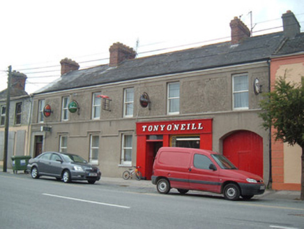 Tony O'NeillHouse · 29 yd
 Sycamore381 ydDavid HurleyMemorial · 382 ydCharles BunworthMemorial · 482 ydGrave YardGraveyard · 486 yd
 TowerDovecote · 1399 yd
 Templeconnell Castle (in Ruins)Castle, tower house · 2.1 mi
 Kilmaclenine CastleCastle · 2.9 mi
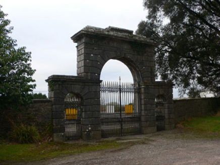 Doneraile CourtGates/railings/walls · 3.8 mi
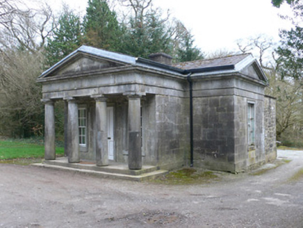 Doneraile CourtGate lodge · 3.8 mi
 European Yew3.9 mi
More archaeology and monuments in County Cork · All of County Cork
What do you know about this place?