What is recorded here
In grassland. Cropmark of circular-shaped earthwork (diam. c. 15m) visible on Google Earth orthoimages and on Digital Globe orthoimage taken between 2011-13.
See attached Google Earth orthophoto taken 20/09/2020
Compiled by: Caimin O'Brien based on details provided by Jean-Charles Caillère
Date of upload: 11 July 2022
The monument record does not grant public access. Check the route and ask the landowner before entering private land.
- What survives
- Recorded monument
Places near here
 BarrowBarrow, unclassified · 776 yd
 KilnKiln, lime · 976 yd
 Oldtown DemesneForest · 1170 yd
 LF014-105---- : Ringfort - rath : OLDTOWNArchaeological place · 1311 yd
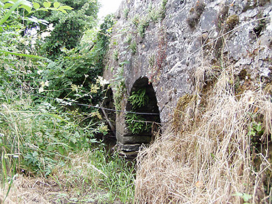 bridgebridge · 1346 yd
 Oldtown CopseWood · 1364 yd
 Bawn in LissardowlanBawn · 1.5 mi
 CastleCastle, Anglo-Norman masonry castle · 1.5 mi
 National Famine WayWalking route · 4.4 mi
 Saint Mel's CathedralCathedral · 4.8 mi
 First World War MemorialMemorial · 4.8 mi
 Graveyard in Curry (ardagh By., Coolamber Ed)Graveyard · 5.6 mi