What is recorded here
In poorly drained, low-lying pasture. A slightly raised circular area (diam. 16.2m) enclosed by a low bank of earth and stone (Wth c. 3m; H 0.1-0.3m) with a wide, shallow external fosse (Wth 5m; max. D 0.3m). The fosse is almost completely infilled but its outline may still be traced. There are breaks in the bank at SSE and W, neither of which appears to be original. The monument is densely overgrown with scrub.
Compiled by: Patrick F. O'Donovan
Date of upload: 26 August 2011
The monument record does not grant public access. Check the route and ask the landowner before entering private land.
- What survives
- Recorded monument
Places near here
 IndicatedEnclosure · 450 yd
 Oldtown CopseWood · 753 yd
 Oldtown DemesneForest · 834 yd
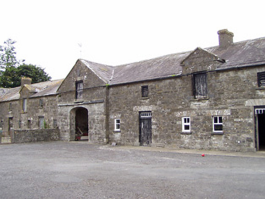 Oldtown Houseoutbuilding · 873 yd
 LF014-105---- : Ringfort - rath : OLDTOWNArchaeological place · 996 yd
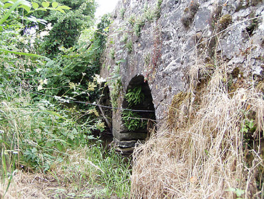 bridgebridge · 1617 yd
 Ardagh DemesneFort · 1.3 mi
 Bawn in LissardowlanBawn · 2.2 mi
 National Famine WayWalking route · 3.9 mi
 Saint Mel's CathedralCathedral · 5.2 mi
 First World War MemorialMemorial · 5.3 mi
 Graveyard in Curry (ardagh By., Coolamber Ed)Graveyard · 5.6 mi