What is recorded here
On a N-S ridge in pasture. A raised irregular area (70.5m NW-SE; 56.5m NE-SW) enclosed by a bank of earth and stone (Wth 1.9-3m; H 0.2-0.9m) with numerous cattle-breaks. A report in 1976 (SMR file) recorded a wide, shallow, external fosse but this depression appears to be a consequence of cattle trampling. The circuit of the bank is roughly curvilinear from WNW-N-ESE. Elsewhere it comprises linear lengths: from ESE-S-SSW (L c. 41m), from SSW-SW-WSW (L c. 32m) and from WSW-W-WNW (L c. 19m). The original entrance is not recognisable. Although known of locally as a 'fort', it may be a landscape feature. O'Donovan
Date of upload: 4 February 2012
From the National Monuments Service (Archaeological Survey of Ireland) record LF019-122
Places near here
Photo credits
- National Inventory of Architectural Heritage
- SE Keenan, Wikimedia Commons · CC BY-SA 4.0
- Mike Searle, Geograph · CC BY-SA 2.0
- 瑞丽江的河水, Wikimedia Commons · CC BY-SA 4.0
- Charles T. G. Clarke, Wikimedia Commons · CC BY-SA 4.0
- 2ManyCats4Me, Wikimedia Commons · CC0
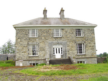 Oldtown HouseHouse · 555 yd
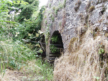 bridge1396 yd
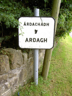 sign post1591 yd
 RichfortGates/railings/walls · 1.1 mi
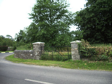 demesne walls/gates/railings1.2 mi
 Ardagh Clock TowerMonument · 1.5 mi
 Bawn in CastlereaBawn · 3.7 mi
 Saint Mel's CathedralCathedral · 5.0 mi
 First World War MemorialMemorial · 5.1 mi
 Coolamber CastleHouse, fortified house · 8.9 mi
 Granard MotteMotte-and-bailey castle remains · 9.8 mi
 1798 MonumentMonument · 9.9 mi
More archaeology and monuments in County Longford · All of County Longford

What do you know about this place?Tap to add a comment or ask a question