
Places near here
Photo credits
- National Inventory of Architectural Heritage
- JohnArmagh, Wikimedia Commons · CC BY-SA 3.0
- Dougbermingham at en.wikipedia, Wikimedia Commons · CC0
- Nigel Thompson, Geograph · CC BY-SA 2.0
- ClintMalpaso, Wikimedia Commons · CC BY-SA 3.0
- Willow, Wikimedia Commons · CC BY 2.5
- Didier Descouens, Wikimedia Commons · CC BY-SA 4.0
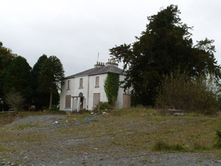 Eiscir ViewHouse · 1.5 mi
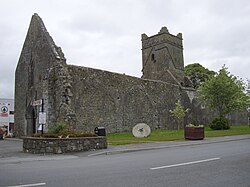 Abbey (in ruins)Religious house, Augustinian friars · 1.6 mi
Explorer Tom Abbey in Abbeyland South has a hidden message in its stones that says 'we forgot about this place.' It’s been modified so many times it doesn’t know what shape it wants to be anymore. Go back in winter, it's a different animal.
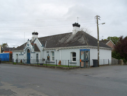 Bank of IrelandBank/financial institution · 1.6 mi
Explorer Tom Bank of Ireland in Dunmore was saved by a hero nobody remembers, probably a dog. It’s a single-storey bank that thinks it’s doing something special. Best visited with a wallet you don’t mind losing slightly.
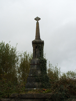 monument1.6 mi
Explorer Tom Monument in Abbeyland North wants its tombstone to read: 'Here lies the guy who actually showed up.' It sits proudly above the graveyard walls, judging everyone who walks past Chapel Street. Best enjoyed with a bag of chips in hand.
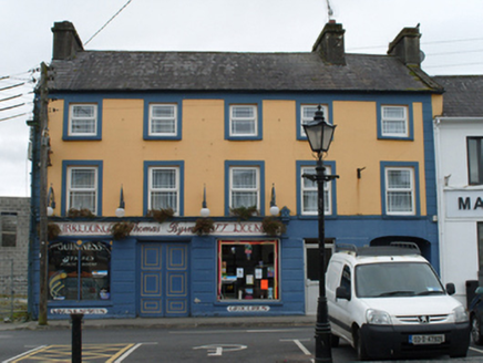 Thomas ByrneHouse · 1.6 mi
Explorer Tom Thomas Byrne in Dunmore hosted a dramatic event where a chandelier fell through the floor but landed perfectly on a pile of old ledgers. The hand-painted signage has been laughing about it ever since. Best enjoyed wi
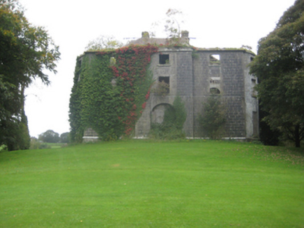 Dunmore HouseCountry house · 1.6 mi
 Dunmore CastleCastle, hall-house · 2.2 mi
Explorer Tom Dunmore Castle in Castlefarm is a massive keep that has been rebuilt more times than I've changed my mind about lunch. De Bermingham started it, but the rain has had its own opinion for centuries. Have a nosey, politely, and don't touch anything.
 Barnaderg CastleCastle · 8.9 mi
 St. Marys CathedralCathedral · 9.1 mi
Explorer Tom St. Marys Cathedral in Tuam has lost its nave to fire but kept the chancel. It’s basically a fancy porch with attitude and a barrel vault. Have a chat with it, nobody's watching.
 Part of St. Jarlaths CrossCross, High cross · 9.1 mi
Explorer Tom Part of St. Jarlaths Cross is buried under the church floor like a secret. Found where the communion table is now, which is weirdly specific. Perfect spot to practise your best tour-guide voice.
 European ash9.2 mi
 Hawthorn10 mi
More archaeology and monuments in County Galway · All of County Galway

What do you know about this place?Tap to add a comment or ask a question