
What is recorded here
On flat pasture 260m W of the townland boundary with Cahirguillamore. The ecclesiastic ecclesiastical enclosure of Killorath [LI031-040001-); burial ground (LI031-040002-) with a cross inscribed pillar (LI031-040003-) is located 65m to W. Not depicted on historic OSi maps. Some rough ground in the field is visible at…
Read the whole record
From the National Monuments Service (Archaeological Survey of Ireland) record LI031-181
Places near here
Photo credits
- Maker not stated on source page, tr.pinterest.com
- National Inventory of Architectural Heritage
- Maker not stated on source page, au.pinterest.com
- Maker not stated on source page, www.coliseum-online.com
- Maker not stated on source page, www.youtube.com
- Maker not stated on source page, co.pinterest.com
- Maker not stated on source page, www.geograph.ie
- Kmcnamee, Wikimedia Commons · CC BY-SA 4.0
- No machine-readable author provided. Christian1965~commonswiki assumed (based on copyright claims)., Wikimedia Commons · Public domain
 Cross-inscribed stone in KillorathCross-inscribed stone · 136 yd
Explorer Tom Cross-inscribed stone in Killorath makes a weird humming sound at night that sounds exactly like someone clearing their…
 Green LawnHouse · 946 yd
Explorer Tom Green Lawn is built by someone who thought they were being very subtle about it. The builder was probably thinking, 'I…
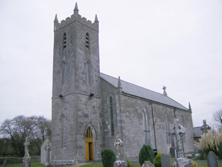 Saint Mary's Catholic ChurchChurch/chapel · 1170 yd
Explorer Tom Saint Mary's Catholic Church in Meanus had a fox take charge of the parish for three days once. The stained glass is…
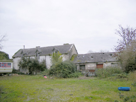 Cahir GuillamoreCountry house, outbuilding · 1541 yd
Explorer Tom Cahir Guillamore had a love story go wrong right next door where someone threw a shoe and hit the laundry house. The…
 Standing Stone (site of)Standing stone · 1550 yd
Explorer Tom Standing Stone in Cahirguillamore is officially gone but still haunting the pasture like a bad dream. Saint Patrick…
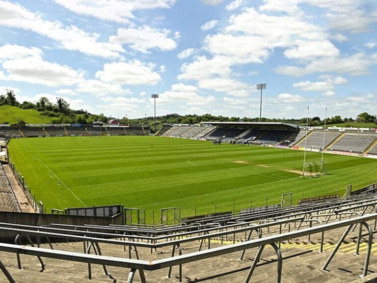 Camogue Rovers GAA pitchGAA ground · 1.0 mi
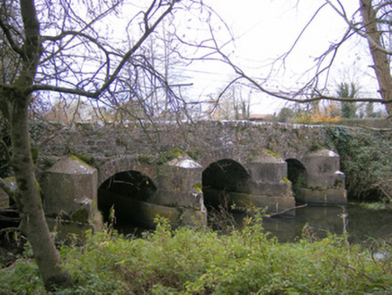 Gray's BridgeBridge · 1.2 mi
Explorer Tom Gray's Bridge in Boherygeela has cutwaters so sharp they could slice a baguette. Rumour says the stonemasons hid a…
 Earthwork in Crean (smallcounty By.)Earthwork · 1.2 mi
Explorer Tom Earthwork in Crean has very strong opinions on modern buildings, specifically that they’re all ugly. It’s a sunken…
 Fairy fort / earthen ringfort in DunkipFairy fort / earthen ringfort · 1.7 mi
Explorer Tom Fairy fort / earthen ringfort in Dunkip confuses the map makers with its trig station confusion. They drew it wrong…
 Rathmore Castle (in ruins)Castle, tower house · 2.1 mi
Explorer Tom Rathmore Castle wants its tombstone to read: 'I was seventy feet tall and you didn't even notice.' It’s remarkably well…
 Fedamore GAA pitchGAA ground · 2.5 mi
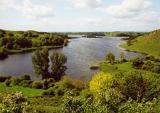 Áine and Gearóid Iarla: Lough GurLegend location · 3.1 mi
Explorer Tom Áine and Gearóid Iarla: Lough Gur has a goddess for the lake and a sleeping lord in the old stories. I thought I was…
More archaeology and monuments in County Limerick · All of County Limerick

What do you know about this place?Tap to add a comment or ask a question