
What is recorded here
Cross-inscribed stone standing inside a cillín both of which are located in SE quadrant of a possible ecclesiastical enclosure [LI031-040001-]. Described by O'Kelly (1943, 235) as following; 'In the south east corner of the main enclosure [LI031-040001-] is the Killeen [LI031-040002-]. This consists of a mound on top…
Read the whole record
From the National Monuments Service (Archaeological Survey of Ireland) record LI031-040003
Places near here
Photo credits
- National Inventory of Architectural Heritage
- Maker not stated on source page, au.pinterest.com
- Maker not stated on source page, www.coliseum-online.com
- Maker not stated on source page, www.youtube.com
- Maker not stated on source page, co.pinterest.com
- Maker not stated on source page, en.wikipedia.org
- Maker not stated on source page, www.geograph.ie
- Kmcnamee, Wikimedia Commons · CC BY-SA 4.0
- No machine-readable author provided. Christian1965~commonswiki assumed (based on copyright claims)., Wikimedia Commons · Public domain
 Green LawnHouse · 838 yd
Explorer Tom Green Lawn is built by someone who thought they were being very subtle about it. The builder was probably thinking, 'I…
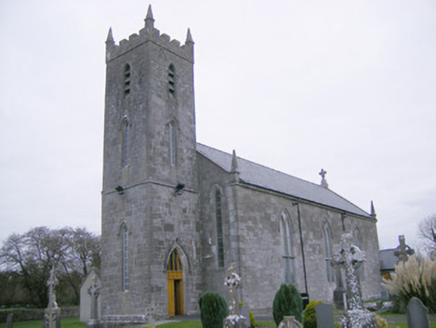 Saint Mary's Catholic ChurchChurch/chapel · 1046 yd
Explorer Tom Saint Mary's Catholic Church in Meanus had a fox take charge of the parish for three days once. The stained glass is…
 Standing Stone (site of)Standing stone · 1668 yd
Explorer Tom Standing Stone in Cahirguillamore is officially gone but still haunting the pasture like a bad dream. Saint Patrick…
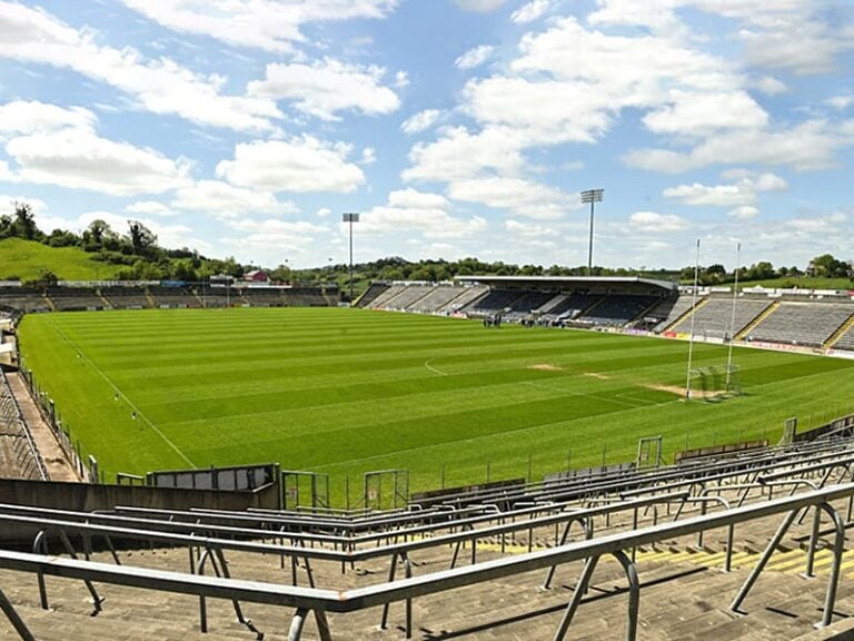 Camogue Rovers GAA pitchGAA ground · 1670 yd
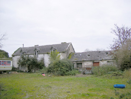 Cahir GuillamoreCountry house, outbuilding · 1677 yd
Explorer Tom Cahir Guillamore had a love story go wrong right next door where someone threw a shoe and hit the laundry house. The…
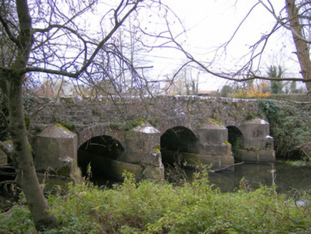 Gray's BridgeBridge · 1.1 mi
Explorer Tom Gray's Bridge in Boherygeela has cutwaters so sharp they could slice a baguette. Rumour says the stonemasons hid a…
 Earthwork in Crean (smallcounty By.)Earthwork · 1.1 mi
Explorer Tom Earthwork in Crean has very strong opinions on modern buildings, specifically that they’re all ugly. It’s a sunken…
 Fairy fort / earthen ringfort in DunkipFairy fort / earthen ringfort · 1.7 mi
Explorer Tom Fairy fort / earthen ringfort in Dunkip confuses the map makers with its trig station confusion. They drew it wrong…
 Church in DunkipChurch · 1.8 mi
Explorer Tom Church in Dunkip explains the 1800s to teens as 'vibes without Wi-Fi'. It’s been lost to history, so it invented its…
 Rathmore Castle (in ruins)Castle, tower house · 2.1 mi
Explorer Tom Rathmore Castle wants its tombstone to read: 'I was seventy feet tall and you didn't even notice.' It’s remarkably well…
 Fedamore GAA pitchGAA ground · 2.5 mi
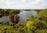 Áine and Gearóid Iarla: Lough GurLegend location · 3.2 mi
Explorer Tom Áine and Gearóid Iarla: Lough Gur has a goddess for the lake and a sleeping lord in the old stories. I thought I was…
More archaeology and monuments in County Limerick · All of County Limerick

What do you know about this place?Tap to add a comment or ask a question