
What is recorded here
From the National Monuments Service (Archaeological Survey of Ireland) record LI031-168
Places near here
Photo credits
- Maker not stated on source page, co.pinterest.com
- Maker not stated on source page, evoke.ie
- Maker not stated on source page, www.youtube.com
- National Inventory of Architectural Heritage
- Maker not stated on source page, www.coliseum-online.com
- JohnArmagh, Wikimedia Commons · Public domain
- Maker not stated on source page, www.flickr.com
- Maker not stated on source page, ru.pinterest.com
- Dromin Athlacca Banogue club; individual photographer not named, drominathlaccabanogue.clubzap.com
- No machine-readable author provided. Christian1965~commonswiki assumed (based on copyright claims)., Wikimedia Commons · Public domain
- Mike Searle, Wikimedia Commons · CC BY-SA 2.0
 Fairy fort / earthen ringfort in DunkipFairy fort / earthen ringfort · 280 yd
Explorer Tom Fairy fort / earthen ringfort in Dunkip confuses the map makers with its trig station confusion. They drew it wrong…
 Fairy fort / earthen ringfort in CloraneFairy fort / earthen ringfort · 1016 yd
Explorer Tom Fairy fort / earthen ringfort in Clorane would win a county fair by simply existing and looking slightly damp. It’s…
 Earthwork in Crean (smallcounty By.)Earthwork · 1331 yd
Explorer Tom Earthwork in Crean keeps getting picked on by the wind because it refuses to grow any taller, sticking to its 23-meter…
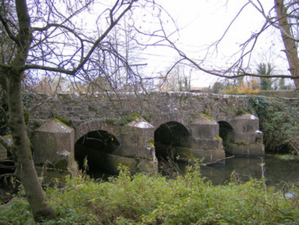 Gray's BridgeBridge · 1495 yd
Explorer Tom Gray's Bridge in Boherygeela has cutwaters so sharp they could slice a baguette. Rumour says the stonemasons hid a…
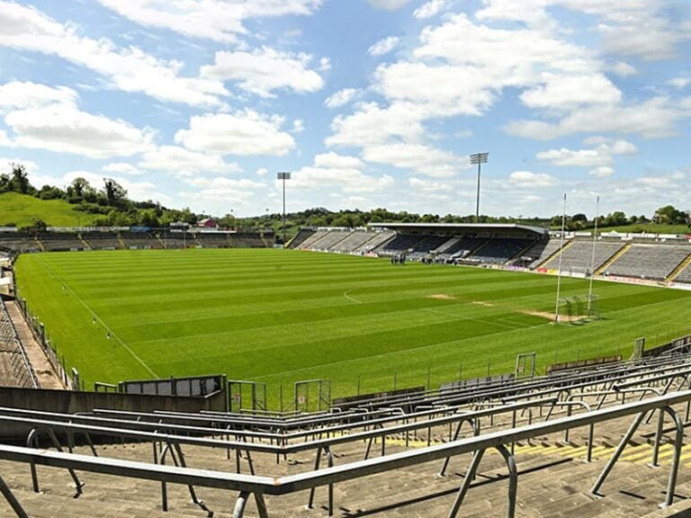 Camogue Rovers GAA pitchGAA ground · 1609 yd
 Monasteranenagh AbbeyHeritage attraction · 1.3 mi
Explorer Tom Monasteranenagh Abbey rises from a Limerick field, where its ruined church and chapter house still make a large claim…
 Monasteranenagh Abbey (in ruins)Religious house, Cistercian monks · 1.3 mi
Explorer Tom Monasteranenagh Abbey would cope badly on a reality show because it refuses to compromise its dour personality.…
 Monaster BridgeBridge · 1.5 mi
Explorer Tom Monaster Bridge would tell its younger self to stop trying so hard with those cutwaters, mate. It’s a well-proportioned…
 Castle (in ruins)Castle, tower house · 2.0 mi
Explorer Tom Castle in Tullovin was saved by a hero nobody remembers, who just threw a rock at an attacker and ran home. The tower…
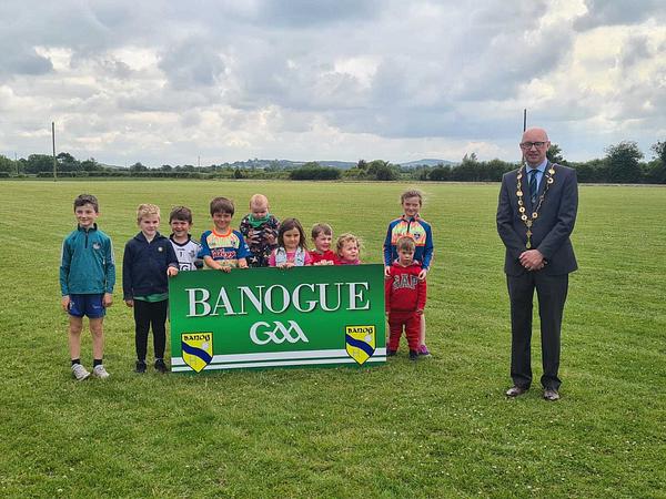 Banogue GAA pitchGAA ground · 2.7 mi
 Áine and Gearóid Iarla: Lough GurLegend location · 5.0 mi
Explorer Tom Áine and Gearóid Iarla: Lough Gur has a goddess for the lake and a sleeping lord in the old stories. I thought I was…
 Fanningstown Castle (in ruins)Castle, tower house · 5.1 mi
Explorer Tom Fanningstown Castle holds the world record for the most confusing conversion from ruin to luxury B&B. You’d think the…
More historic places in County Limerick · All of County Limerick

What do you know about this place?Tap to add a comment or ask a question