What is recorded here
In wet pasture field. Possible site surveyed in 2007 and described as a sunken sub-rectangular shaped marshy area (min. D. 0.5m) on E side of naturally raised ground. Possible sump or watering hole. Narrow channels cut into its sides at regular intervals to facilitate drainage. Non-antiquity. Clearly visible as a pond standing in quadrant of extensive field system on Google earth orthoimage dated 25/03/2017.
See attached Google Earth orthoimages
Compiled by: Fiona Rooney
Date of upload: 25 March 2021
See attached ASI aerial photograph ASIAP – 307/15 taken 13/09/2002
The monument record does not grant public access. Check the route and ask the landowner before entering private land.
- What survives
- Recorded monument
Places near here
 RoadRoad, road/trackway · 520 yd
 Concentric enclosure in BoherygeelaConcentric enclosure · 774 yd
 Burial ground in Rosstemple (coshma By., Athlacca Ed)Burial ground · 1034 yd
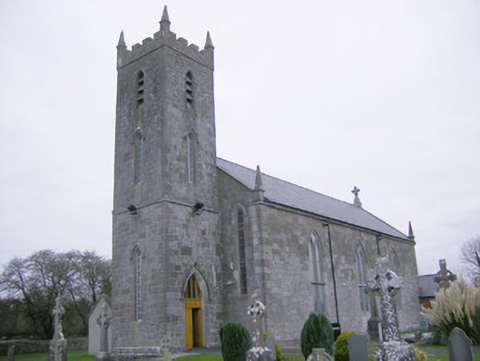 Saint Mary's Catholic Churchchurch/chapel · 1664 yd
 CastleCastle, unclassified · 1.9 mi
 Glenogra Castle (in ruins)Castle, Anglo-Norman masonry castle · 2.0 mi
 Monasteranenagh AbbeyHeritage attraction · 2.5 mi
 Lough GurVisitor information · 3.1 mi
 European ashEuropean ash · 4.1 mi
 Banoge's WellSpring · 4.5 mi
 Skool HillMountain / peak · 4.6 mi
 Biodiversity in the Maigue CatchmentVisitor information · 4.7 mi