What is recorded here
Situated in low-lying pasture. Depicted on Longford Estate Map of 1767 as a circular-shaped earthwork. Not depicted on the 1837 ed. OS 6-inch map or the revised 1913 ed. OS 25-inch map. Levelled monument described in 1983 as no surface remains visible. Levelled earthwork is visible as a circular-shaped cropmark on Digital Globe aerial photography. There is a linear cropmark running NE-SW close to SW of this earthwork that continues towards ringfort (WM020-081----) 265m to SW.
Compiled by Alison McQueen, Vera Rahilly and Caimin O’Brien.
Date of upload: 08 July 2019
The monument record does not grant public access. Check the route and ask the landowner before entering private land.
- What survives
- Recorded monument
Places near here
 Man-made underground passage in Higginstown (farbill By.)Man-made underground passage · 303 yd
 Creggstown Househouse · 640 yd
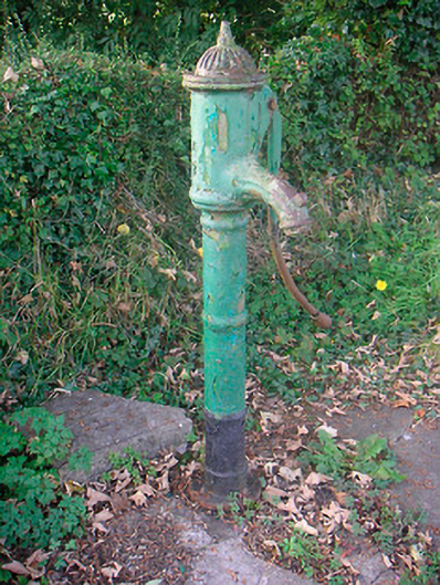 water pumpwater pump · 752 yd
 Enclosure in CorbetstownEnclosure · 1261 yd
 Edmondstown Castle (in Ruins)Castle, tower house · 1.3 mi
 Rathwire Moat & CastleCastle, motte and bailey · 1.8 mi
 GinkgoGinkgo · 2.9 mi
 ScregganWood · 4.2 mi
 Croppies' GraveMemorial · 8.5 mi
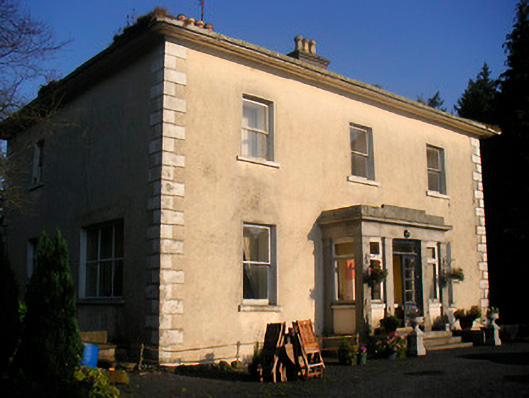 Corbetstown Househouse · 1231 yd
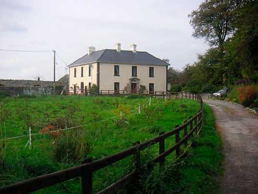 Millarstown Househouse · 1469 yd
 OutlinedFairy fort / earthen ringfort · 1667 yd