What is recorded here
Gortnascreeny holds a sixty-metre stone-faced ridge beside its ringfort, waiting for human hands to remember what it excluded or protected. Conifers crowd the ancient line today, yet the ridge still breaks the pasture like a forgotten boundary.
Pasture, S-facing slope. Linear earthwork (L N-S 60m; H 1.7m) to SE of ringfort (CO119-045001-); stone-faced and higher at S end; planted with conifers. Indicated as raised rectangle on OS 6-inch map (1842).
The above description is derived from the published 'Archaeological Inventory of County Cork. Volume 1: West Cork' (Dublin: Stationery Office, 1992). In certain instances the entries have been revised and updated in the light of recent research.
Date of upload/revision: 14 January 2009
The monument record does not grant public access. Check the route and ask the landowner before entering private land.
- What survives
- Recorded monument
Places near here
 Childrens Burial Gd (Disused)Burial ground · 905 yd
 Dromore Schoolschool · 1196 yd
 Wedge tomb in Kealanine (carbery W. (w.d) By.)Wedge tomb · 1317 yd
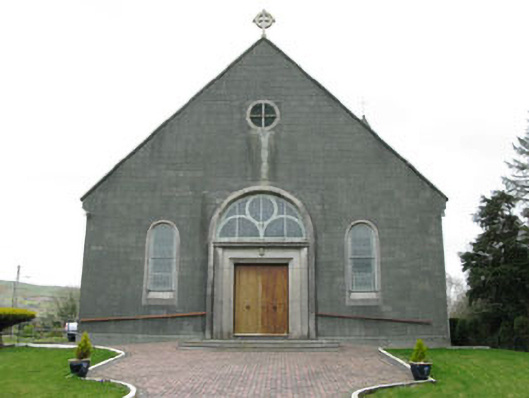 St. Joseph's Roman Catholic Churchchurch/chapel · 1552 yd
 Francis O'Neill PlaqueMemorial · 2.0 mi
 Baugorm Castle (Site of)Castle, unclassified · 2.7 mi
 Ballyourane Castle (in Ruins)Castle, unclassified · 2.8 mi
 Trawlebane WalkWalking route · 2.8 mi
 Moyny Bridge WalkWalking route · 2.8 mi
 Mullach MéiseMountain / peak · 3.4 mi
 Mount KidMountain / peak · 4.1 mi
 Seskin ViewViewpoint · 4.6 mi