What is recorded here
Cropmark of circular-shaped area (diam. c. 43m) defined by a ditch visible on Google Earth photograph taken 18/03/2009.
See attached Google Earth orthoimages
Compiled by: Caimin O'Brien based on details provided by Jean-Charles Caillère
Date of upload: 10 January 2022
The monument record does not grant public access. Check the route and ask the landowner before entering private land.
- What survives
- Recorded monument
Places near here
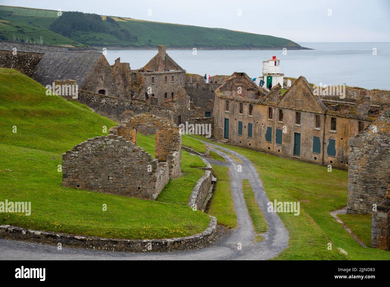 Fort, MoataphucaCastle, motte · 721 yd
 MoatCastle, motte · 863 yd
 Caldragh Church YardBurial ground · 973 yd
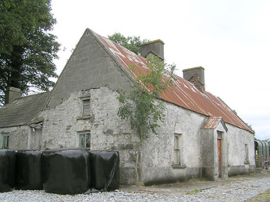 Cornaparkhouse · 1162 yd
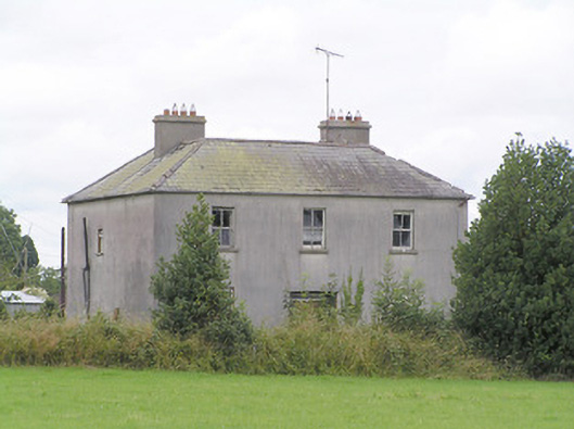 Lissanure Househouse · 1.1 mi
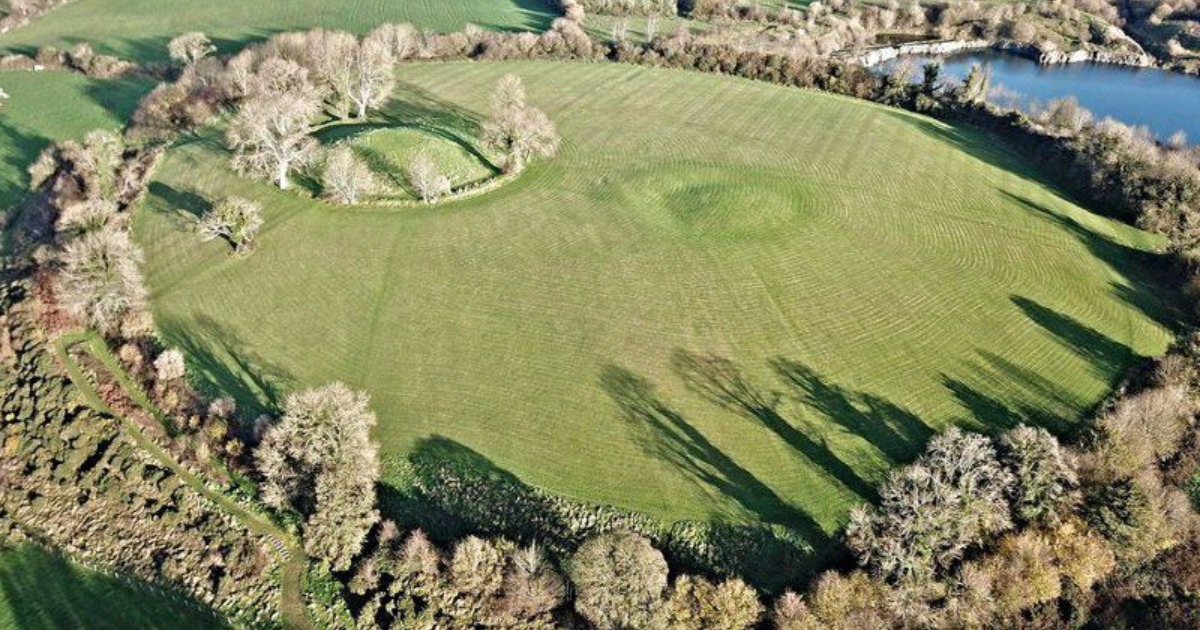 Fairy fort / earthen ringfort in BarneFairy fort / earthen ringfort · 1.2 mi
 Edgeworthstown BypassMemorial · 2.3 mi
 ShawbrookForest · 2.4 mi
 Pedunculate OakPedunculate Oak · 2.5 mi
 Granard MotteMotte-and-bailey castle remains · 9.1 mi
 Graveyard in Curry (ardagh By., Coolamber Ed)Graveyard · 9.1 mi
 1798 Monumentmonument · 9.1 mi