
What is recorded here
From the National Monuments Service (Archaeological Survey of Ireland) record LI040-151
Places near here
Photo credits
- National Inventory of Architectural Heritage
- Mike Searle, Wikimedia Commons · CC BY-SA 2.0
- Kmcnamee, Wikimedia Commons · CC BY-SA 4.0
- Knockane GAA Club website; individual photographer not stated, www.knockane.com
- Maker not stated on source page, www.pinterest.com
- No machine-readable author provided. Christian1965~commonswiki assumed (based on copyright claims)., Wikimedia Commons · Public domain
- Maker not stated on source page, en.wikipedia.org
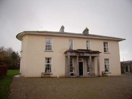 Milltown ParkCountry house · 1253 yd
Explorer Tom Milltown Park has seagulls that constantly rate its classical proportions and mostly give two stars. It was built by…
 Ballygrennan Castle (in ruins)Castle, tower house · 1324 yd
Explorer Tom Ballygrennan Castle has a curse that only affects people who don’t wave when they pass by. If you ignore it, your…
 Ballyvulhane BridgeBridge · 1557 yd
Explorer Tom Ballyvulhane Bridge in Ballyvulhane thinks Dublin tourists are all talk and no walking. Those round arches were rebuilt…
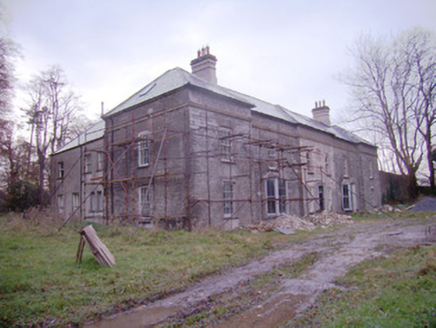 Baggotstown HouseCountry house · 1.1 mi
Explorer Tom Baggotstown House has had so many names it’s got identity crisis and won’t stop changing its mind about who it is. It’s…
 Bruff GAA pitchGAA ground · 1.3 mi
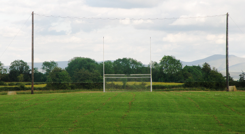 Knockainey GAA pitchGAA ground · 1.7 mi
 Gormanstown BridgeBridge · 1.7 mi
Explorer Tom Gormanstown Bridge was built by a giant who liked limestone plinths and hated small talk. Local legend says he dropped…
 Fairy fort / stone ringfort in KilballyowenFairy fort / stone ringfort · 2.0 mi
Explorer Tom Fairy fort / stone ringfort in Kilballyowen has the local sheep convinced it’s a giant rock pile. It’s collapsed but…
Fairy fort / stone ringfort in Knockainy WestFairy fort / stone ringfort · 2.3 miExplorer Tom The stone fort in Knockainy West handles nosy neighbours by just ignoring them completely. Its thick walls are perfect…
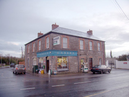 J. CreedHouse · 3.6 mi
Explorer Tom J. Creed in Knocktoran has strong opinions on modern buildings, mostly that they look like cardboard boxes with no…
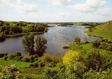 Áine and Gearóid Iarla: Lough GurLegend location · 4.5 mi
Explorer Tom Áine and Gearóid Iarla: Lough Gur has a goddess for the lake and a sleeping lord in the old stories. I thought I was…
 Castle (Site of)Castle, unclassified · 25 mi
Explorer Tom Castle in Curragh is in a rivalry with its more famous namesake across the county, standing on the Allow River bank…
More archaeology and monuments in County Limerick · All of County Limerick

What do you know about this place?Tap to add a comment or ask a question